Channel & Berth Profile
Pilotage, Tugs & Services
Pilotage compulsoryNO
Pilotage availableYES
Pilotage advisableYES
Tug assistanceNO
Salvage tugsNO
Potable waterYES
Diesel bunkersYES
MedicalYES
Garbage disposalYES
Facilities & Capabilities
Container—
Ro-Ro—
Liquid bulk—
Dry bulk—
Oil terminal—
Break bulk—
Dry dock—
RepairsNO
BunkeringYES
Rail linkYES
Dangerous cargo—
ISPS security—
Harbour Specifications
Harbour size
Very Small
Harbour type
Coastal (Natural)
Shelter
Fair
Water body
North Atlantic Ocean
Tidal range
4 m
Pilotage
No
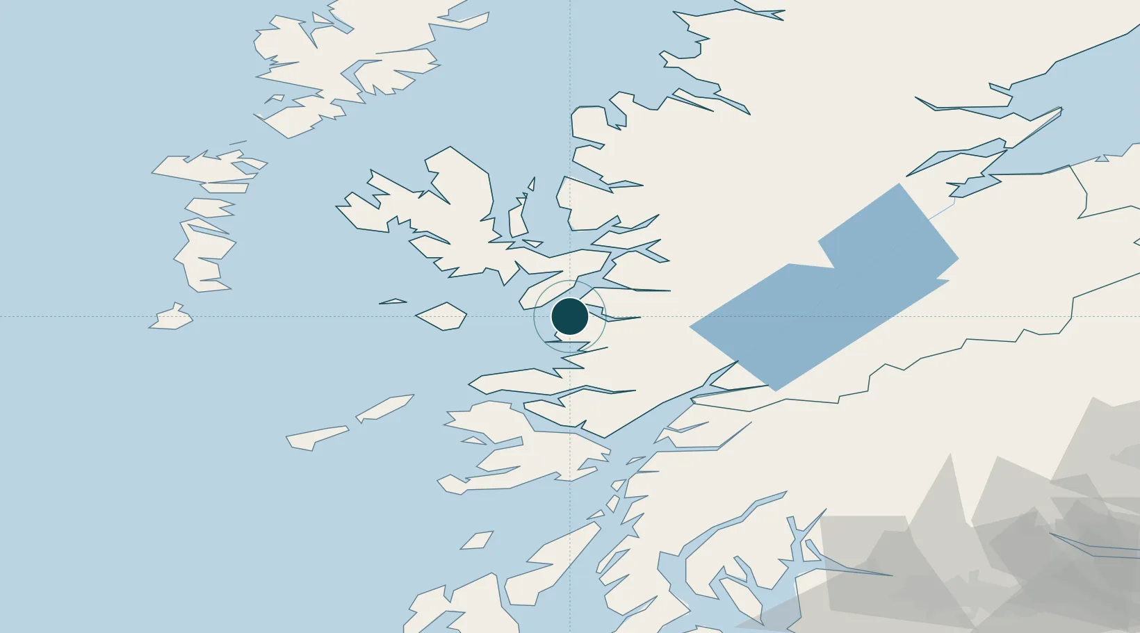
Location
Nearby Logistics Neighbours
Ports
- 1Broadford Bay28 km
- 2Kyleakin30 km
- 3Kyle Of Lochalsh32 km
- 4Plockton38 km
- 5Tobermory45 km
Cities
- 1Armadale, Isle of Skye8 km
- 2Sleat8 km
- 3Inverie9 km
- 4Arisaig11 km
- 5Glenuig19 km
Airports
- 1Oban Airport65 km
- 2Coll Airport66 km
- 3Tiree Airport85 km
- 4Barra Airport99 km
- 5Benbecula Airport107 km
Trade Zones
DatabookThe Record of Consolidated Knowledge
United Kingdom beyond logistics?