Transport Functions
Rail
Road
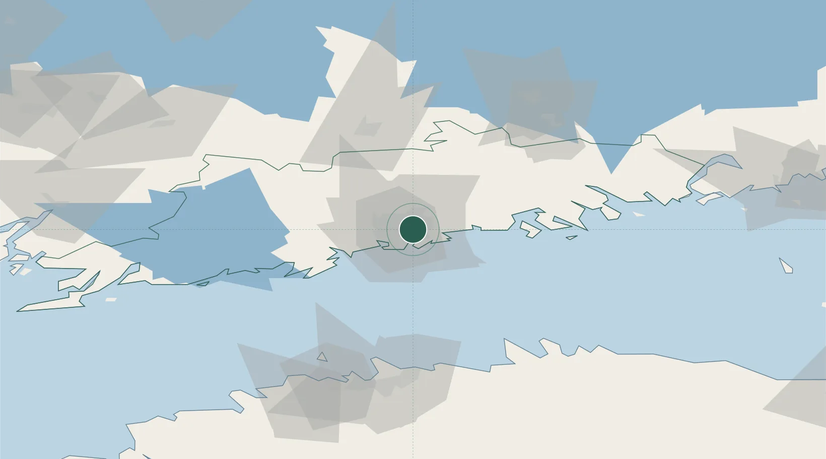
Hub Profile
Place type
Urban district
Region
Uusimaa
Time zone
Europe/Helsinki
Elevation
14 m
Location
Nearby Logistics Neighbours
Cities
- 1Tikkurila (Dickursby)6 km
- 2Vuosaari (Nordsjö)11 km
- 3Helsingfors (Helsinki)11 km
- 4Suomenlinna (Sveaborg)13 km
- 5Sibbo (Sipoo)20 km
Airports
Trade Zones
- 1Muuga Free Zone106 km
- 2Port of Hamina-Kotka109 km
- 3Paldiski Free Zone114 km
- 4Freeport of Hanko126 km
- 5Turku Free Zone155 km
DatabookThe Record of Consolidated Knowledge
Finland beyond logistics?