UN/LOCODE hub · Finland
FISBG

Suomenlinna (Sveaborg)

60.1333°, 24.9833°
1
Transport functions

Transport Functions

Port
UN/LOCODE

Hub Profile

Region
18
GeoNames

Location

Location of FISBG
Natural Earth 10m (public domain) · 18 · FISBG · 60.13, 24.98GoogleOSMYandex

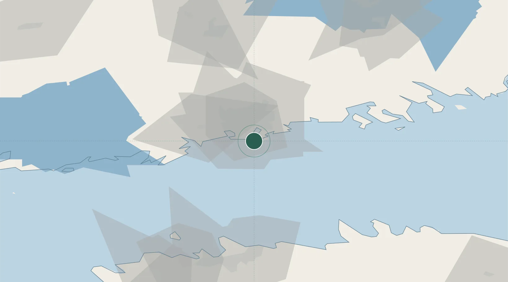
Nearby Logistics Neighbours

Cities
  1. 1Malmi13 km
  2. 2Vuosaari (Nordsjö)14 km
  3. 3Helsingfors (Helsinki)15 km
  4. 4Tikkurila (Dickursby)19 km
  5. 5Esbo (Espoo)20 km
Nearest neighbours — logibook spatial index (haversine) over the source coordinates
Ports
  1. 1Helsinki4 km
  2. 2Porkkala34 km
  3. 3Tolkkinen35 km
  4. 4Porvoo40 km
  5. 5Inkoo61 km
Nearest neighbours — logibook spatial index (haversine) over the source coordinates
Airports
  1. 1Helsinki Vantaa Airport21 km
  2. 2Tallinn Linnahall Heliport77 km
  3. 3Lennart Meri Tallinn Airport81 km
  4. 4Helsinki East-Redstone Aerodrome97 km
  5. 5Ämari Air Base107 km
Nearest neighbours — logibook spatial index (haversine) over the source coordinates
Trade Zones
  1. 1Muuga Free Zone93 km
  2. 2Paldiski Free Zone102 km
  3. 3Port of Hamina-Kotka114 km
  4. 4Freeport of Hanko122 km
  5. 5Turku Free Zone157 km
Nearest neighbours — logibook spatial index (haversine) over the source coordinates
DatabookThe Record of Consolidated Knowledge
Finland beyond logistics?
Browse databook

All Sources

LocationsUN/LOCODE
UN/LOCODE — free
Portsthe NGA World Port Index
Public domain (US gov)
AirportsOurAirports
Public domain
Trade Zonesthe World Bank SEZ database
CC BY 4.0
Trade ZonesOpen Zone Map
CC BY
← Finland locations