Transport Functions
Port
Road
Airport
Hub Profile
Region
17
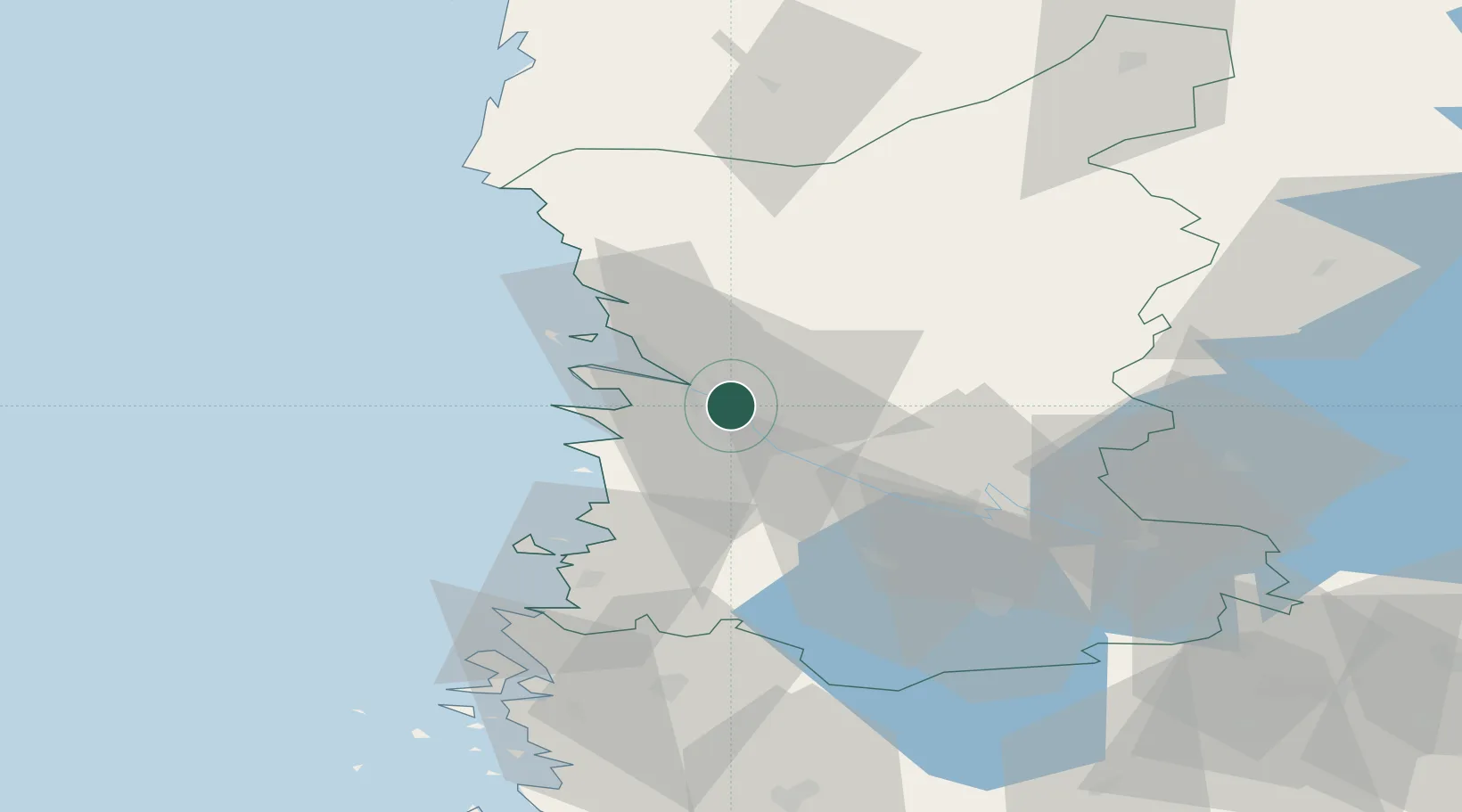
Location
Nearby Logistics Neighbours
Cities
- 1Ulvila7 km
- 2Luvia18 km
- 3Mäntyluoto22 km
- 4Reposaari24 km
- 5Tahkoluoto26 km
Ports
- 1Mantyluoto21 km
- 2Tahkoluoto27 km
- 3Rauma44 km
- 4Uusikaupunki79 km
- 5Kristinestad91 km
Airports
- 1Pori Airport2 km
- 2Tampere-Pirkkala Airport96 km
- 3Turku Airport111 km
- 4Kauhajoki Airfield113 km
- 5Seinäjoki Airport145 km
Trade Zones
- 1Turku Free Zone118 km
- 2Freeport of Hanko193 km
- 3Paldiski Free Zone270 km
- 4Port of Hamina-Kotka299 km
- 5Muuga Free Zone300 km
DatabookThe Record of Consolidated Knowledge
Finland beyond logistics?