Transport Functions
Port
Road
Hub Profile
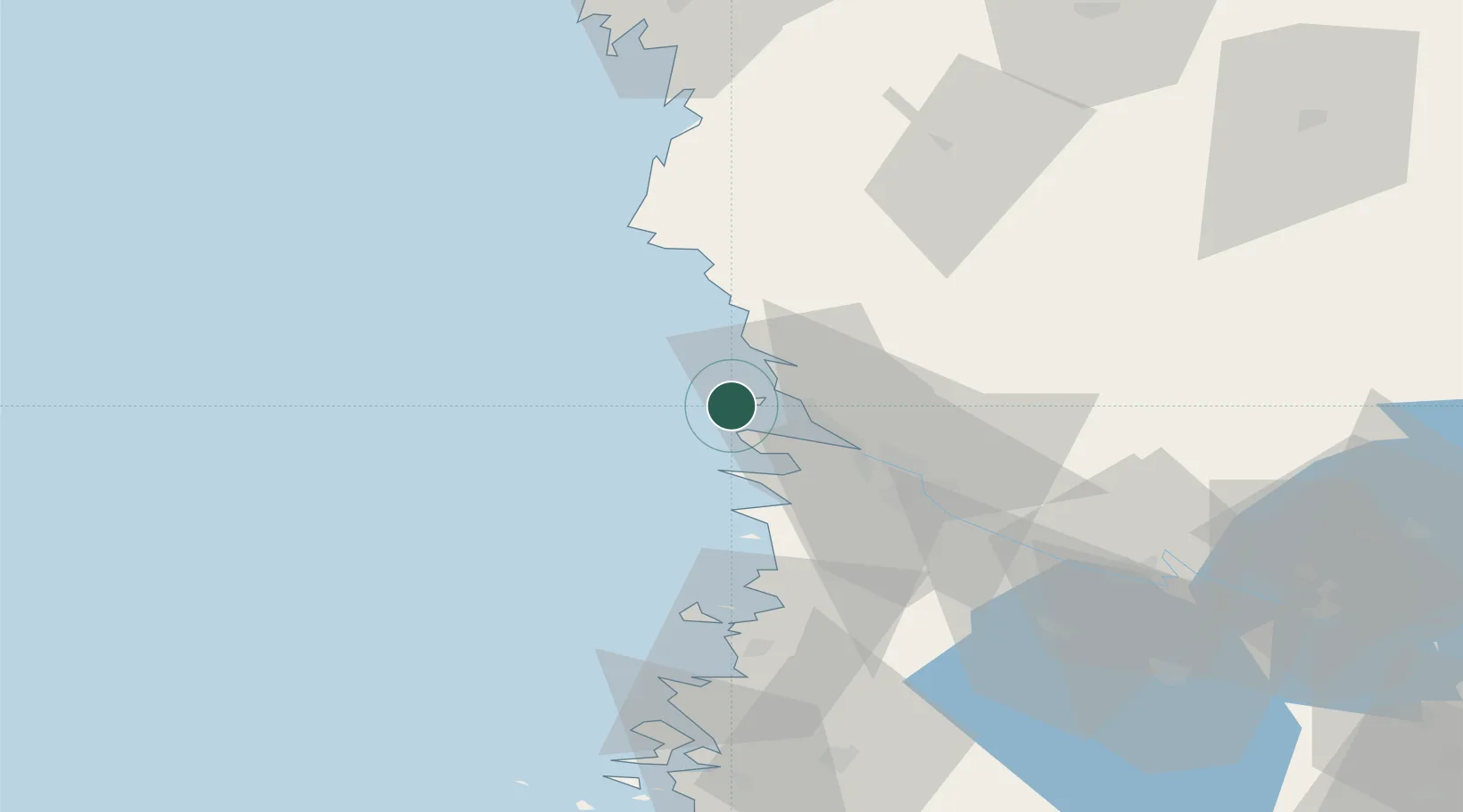
Place type
Populated place
Region
Satakunta
Time zone
Europe/Helsinki
Location
Nearby Logistics Neighbours
Cities
- 1Mäntyluoto3 km
- 2Tahkoluoto3 km
- 3Björneborg (Pori)24 km
- 4Merikarvia (Sastmola)26 km
- 5Pomarkku31 km
Ports
- 1Mantyluoto3 km
- 2Tahkoluoto3 km
- 3Pori24 km
- 4Rauma55 km
- 5Kristinestad74 km
Airports
- 1Pori Airport25 km
- 2Kauhajoki Airfield106 km
- 3Tampere-Pirkkala Airport116 km
- 4Turku Airport130 km
- 5Seinäjoki Airport140 km
Trade Zones
- 1Turku Free Zone137 km
- 2Freeport of Hanko214 km
- 3Paldiski Free Zone292 km
- 4Stockholm Free Zone311 km
- 5Port of Hamina-Kotka322 km
DatabookThe Record of Consolidated Knowledge
Finland beyond logistics?