UN/LOCODE hub · Finland
FILUV

Luvia

61.3500°, 21.6167°
3,260
Population
1
Transport functions

Transport Functions

Port
UN/LOCODE

Hub Profile

Place type
Populated place
GeoNames
Region
Satakunta
GeoNames
Population
3,260
GeoNames
Time zone
Europe/Helsinki
GeoNames
Elevation
13 m
GeoNames

Location

Location of FILUV
Natural Earth 10m (public domain) · Satakunta · FILUV · 61.35, 21.62GoogleOSMYandex

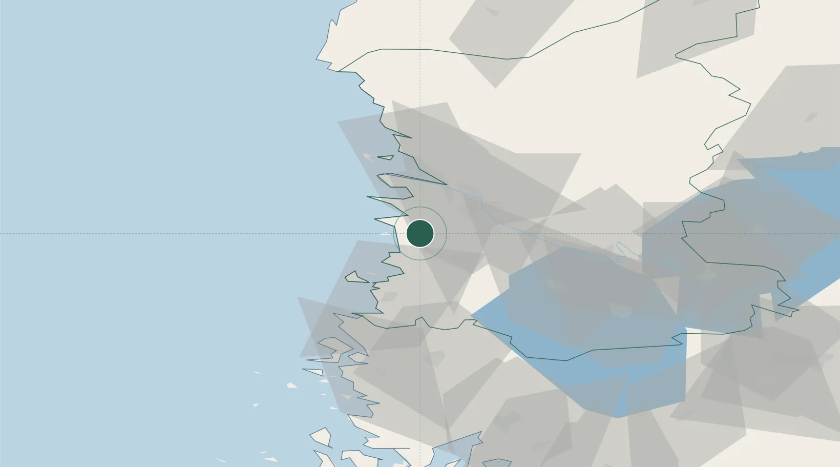
Nearby Logistics Neighbours

Cities
  1. 1Olkiluoto15 km
  2. 2Ulvila17 km
  3. 3Björneborg (Pori)18 km
  4. 4Euraåminne (Eurajoki)18 km
  5. 5Rauma (Raumo)26 km
Nearest neighbours — logibook spatial index (haversine) over the source coordinates
Ports
  1. 1Pori18 km
  2. 2Rauma27 km
  3. 3Mantyluoto29 km
  4. 4Tahkoluoto34 km
  5. 5Uusikaupunki62 km
Nearest neighbours — logibook spatial index (haversine) over the source coordinates
Airports
  1. 1Pori Airport16 km
  2. 2Turku Airport99 km
  3. 3Tampere-Pirkkala Airport106 km
  4. 4Kauhajoki Airfield130 km
  5. 5Seinäjoki Airport162 km
Nearest neighbours — logibook spatial index (haversine) over the source coordinates
Trade Zones
  1. 1Turku Free Zone106 km
  2. 2Freeport of Hanko183 km
  3. 3Paldiski Free Zone262 km
  4. 4Stockholm Free Zone294 km
  5. 5Muuga Free Zone295 km
Nearest neighbours — logibook spatial index (haversine) over the source coordinates
DatabookThe Record of Consolidated Knowledge
Finland beyond logistics?
Browse databook

All Sources

LocationsUN/LOCODE
UN/LOCODE — free
LocationsGeoNames
CC BY 4.0
Portsthe NGA World Port Index
Public domain (US gov)
AirportsOurAirports
Public domain
Trade Zonesthe World Bank SEZ database
CC BY 4.0
Trade ZonesOpen Zone Map
CC BY
← Finland locations