Transport Functions
Port
Rail
Road
Hub Profile
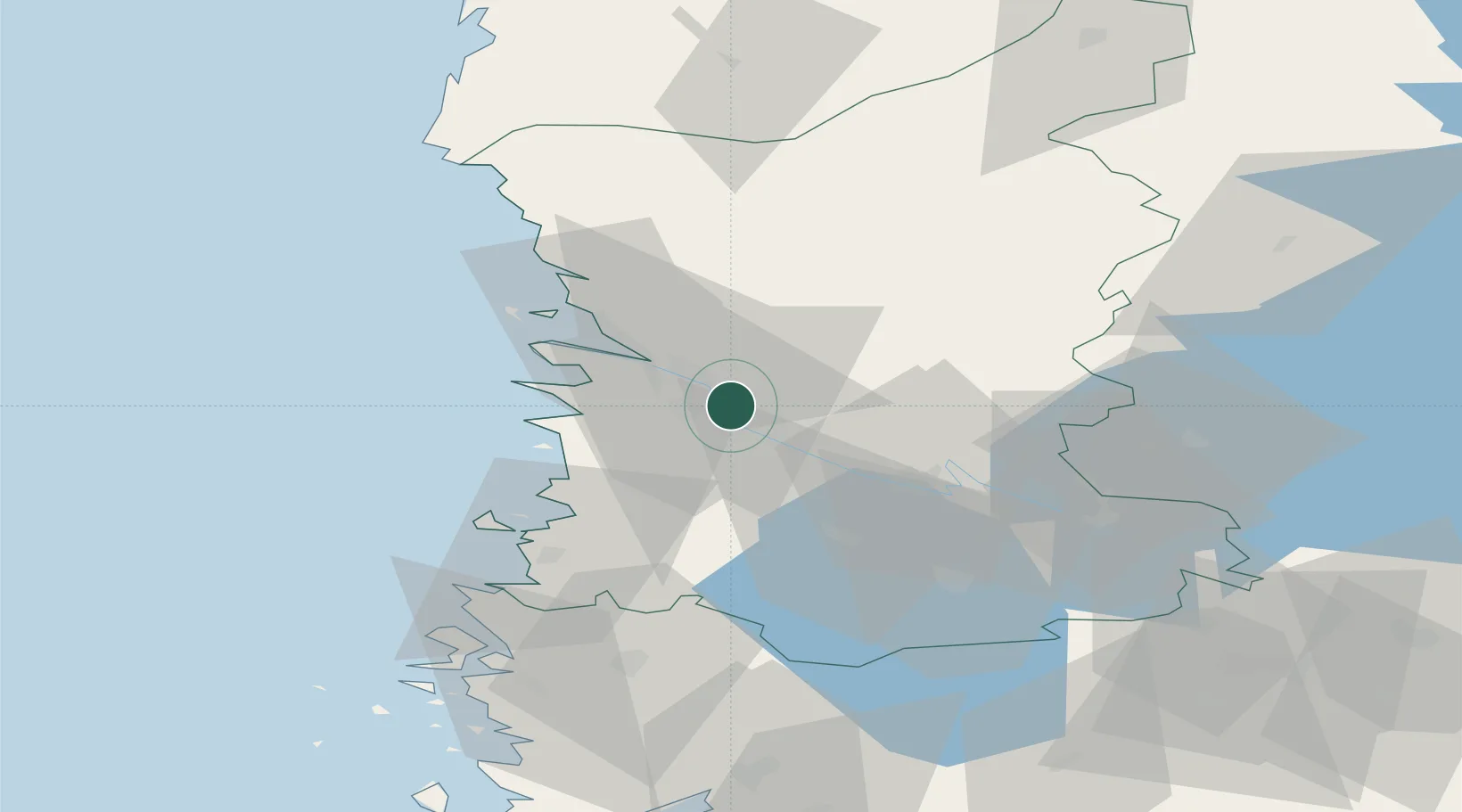
Place type
District seat
Region
Satakunta
Population
12,345
Time zone
Europe/Helsinki
Elevation
5 m
Location
Nearby Logistics Neighbours
Cities
- 1Björneborg (Pori)7 km
- 2Luvia17 km
- 3Euraåminne (Eurajoki)27 km
- 4Mäntyluoto28 km
- 5Pomarkku30 km
Ports
- 1Pori7 km
- 2Mantyluoto28 km
- 3Tahkoluoto34 km
- 4Rauma42 km
- 5Uusikaupunki75 km
Airports
- 1Pori Airport5 km
- 2Tampere-Pirkkala Airport92 km
- 3Turku Airport104 km
- 4Kauhajoki Airfield118 km
- 5Seinäjoki Airport148 km
Trade Zones
- 1Turku Free Zone111 km
- 2Freeport of Hanko187 km
- 3Paldiski Free Zone263 km
- 4Port of Hamina-Kotka293 km
- 5Muuga Free Zone293 km
DatabookThe Record of Consolidated Knowledge
Finland beyond logistics?