UN/LOCODE hub · Finland
FIMTY
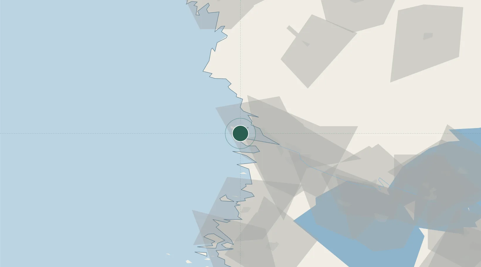
Mäntyluoto
61.5968°, 21.4716°
3
Transport functions
1
Container terminals
Transport Functions
Port
Rail
Road
Hub Profile
Region
17
Logistics facilities
2
Container terminals
1
Location
Nearby Logistics Neighbours
Cities
- 1Reposaari3 km
- 2Tahkoluoto5 km
- 3Björneborg (Pori)22 km
- 4Merikarvia (Sastmola)28 km
- 5Ulvila28 km
Ports
- 1Tahkoluoto6 km
- 2Pori22 km
- 3Rauma53 km
- 4Kristinestad76 km
- 5Kaskinen88 km
Airports
- 1Pori Airport23 km
- 2Kauhajoki Airfield108 km
- 3Tampere-Pirkkala Airport115 km
- 4Turku Airport128 km
- 5Seinäjoki Airport141 km
Trade Zones
- 1Turku Free Zone134 km
- 2Freeport of Hanko211 km
- 3Paldiski Free Zone289 km
- 4Stockholm Free Zone310 km
- 5Port of Hamina-Kotka320 km
DatabookThe Record of Consolidated Knowledge
Finland beyond logistics?