Transport Functions
Port
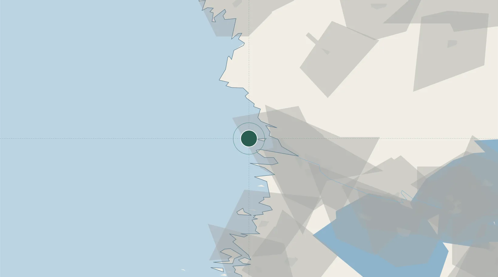
Location
Nearby Logistics Neighbours
Cities
- 1Reposaari3 km
- 2Mäntyluoto5 km
- 3Merikarvia (Sastmola)25 km
- 4Björneborg (Pori)26 km
- 5Pomarkku32 km
Ports
- 1Mantyluoto5 km
- 2Pori26 km
- 3Rauma57 km
- 4Kristinestad72 km
- 5Kaskinen84 km
Airports
- 1Pori Airport28 km
- 2Kauhajoki Airfield105 km
- 3Tampere-Pirkkala Airport119 km
- 4Turku Airport133 km
- 5Seinäjoki Airport139 km
Trade Zones
- 1Turku Free Zone139 km
- 2Freeport of Hanko216 km
- 3Paldiski Free Zone294 km
- 4Stockholm Free Zone312 km
- 5Port of Hamina-Kotka324 km
DatabookThe Record of Consolidated Knowledge
Finland beyond logistics?