Transport Functions
Port
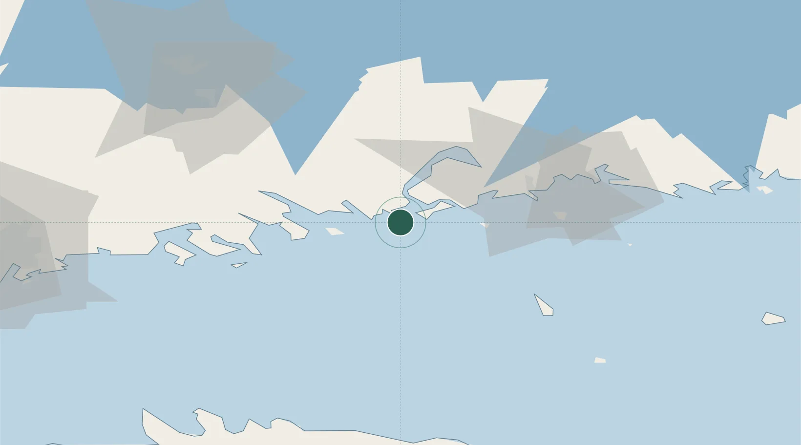
Location
Nearby Logistics Neighbours
Cities
- 1Tessjö (Tesjoki)13 km
- 2Loviisa (Lovisa)15 km
- 3Ruotsinpyhtää (Strömfors)19 km
- 4Siltakylä (Broby)22 km
- 5Pernå (Pernaja)24 km
Airports
- 1Helsinki East-Redstone Aerodrome15 km
- 2Utti Air Base65 km
- 3Helsinki Vantaa Airport82 km
- 4Lappeenranta Airport119 km
- 5Pribylovo Naval Air Base127 km
Trade Zones
- 1Port of Hamina-Kotka29 km
- 2Free Zone of Lappeenranta117 km
- 3Port of Sillamäe127 km
- 4Muuga Free Zone144 km
- 5Paldiski Free Zone175 km
DatabookThe Record of Consolidated Knowledge
Finland beyond logistics?