UN/LOCODE hub · Finland
FIRUO

Ruotsinpyhtää (Strömfors)

60.5333°, 26.4500°
1
Transport functions

Transport Functions

Port
UN/LOCODE

Hub Profile

Region
18
GeoNames

Location

Location of FIRUO
Natural Earth 10m (public domain) · 18 · FIRUO · 60.53, 26.45GoogleOSMYandex

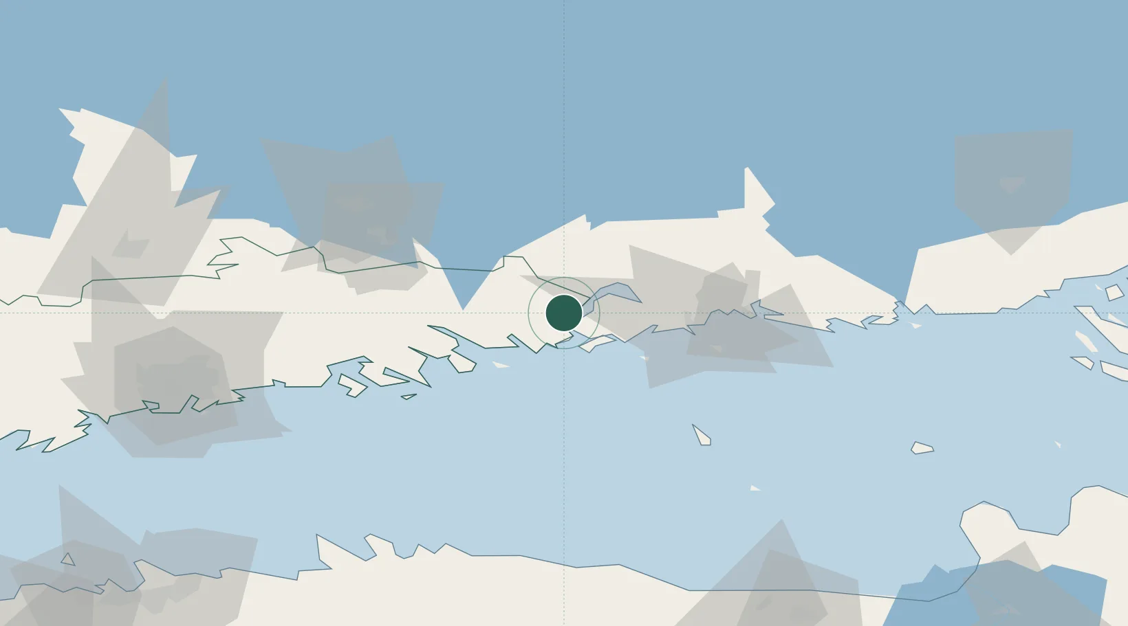
Nearby Logistics Neighbours

Cities
  1. 1Tessjö (Tesjoki)10 km
  2. 2Lindkoski15 km
  3. 3Loviisa (Lovisa)15 km
  4. 4Siltakylä (Broby)17 km
  5. 5Kallviken19 km
Nearest neighbours — logibook spatial index (haversine) over the source coordinates
Ports
  1. 1Loviisa15 km
  2. 2Kotka29 km
  3. 3Hamina41 km
  4. 4Porvoo52 km
  5. 5Tolkkinen73 km
Nearest neighbours — logibook spatial index (haversine) over the source coordinates
Airports
  1. 1Helsinki East-Redstone Aerodrome10 km
  2. 2Utti Air Base48 km
  3. 3Helsinki Vantaa Airport85 km
  4. 4Lappeenranta Airport108 km
  5. 5Pribylovo Naval Air Base126 km
Nearest neighbours — logibook spatial index (haversine) over the source coordinates
Trade Zones
  1. 1Port of Hamina-Kotka28 km
  2. 2Free Zone of Lappeenranta106 km
  3. 3Port of Sillamäe143 km
  4. 4Muuga Free Zone159 km
  5. 5Paldiski Free Zone188 km
Nearest neighbours — logibook spatial index (haversine) over the source coordinates
DatabookThe Record of Consolidated Knowledge
Finland beyond logistics?
Browse databook

All Sources

LocationsUN/LOCODE
UN/LOCODE — free
Portsthe NGA World Port Index
Public domain (US gov)
AirportsOurAirports
Public domain
Trade Zonesthe World Bank SEZ database
CC BY 4.0
Trade ZonesOpen Zone Map
CC BY
← Finland locations