Transport Functions
Port
Hub Profile
Region
18
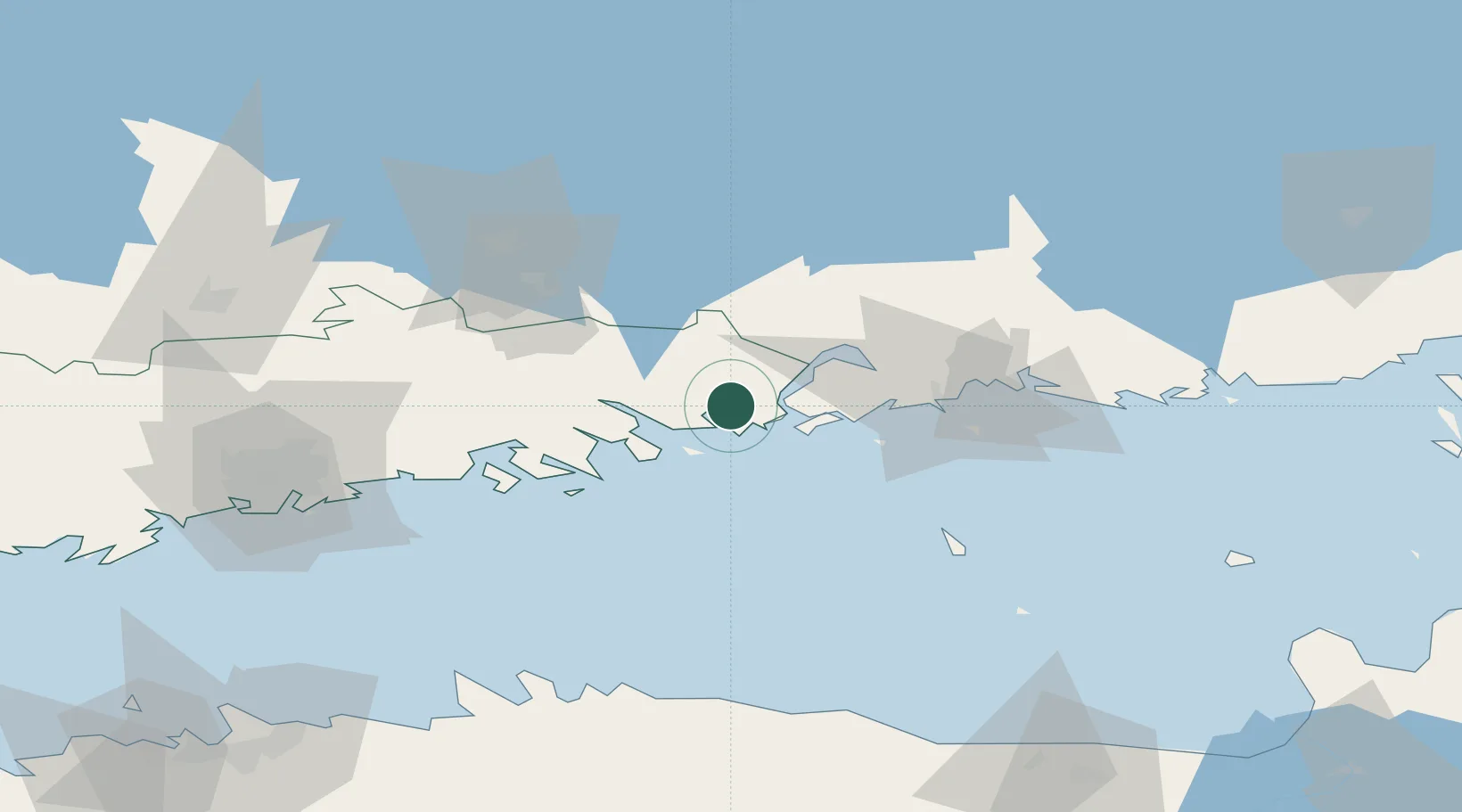
Location
Nearby Logistics Neighbours
Cities
- 1Loviisa (Lovisa)5 km
- 2Ruotsinpyhtää (Strömfors)10 km
- 3Kallviken13 km
- 4Pernå (Pernaja)15 km
- 5Lindkoski19 km
Airports
- 1Helsinki East-Redstone Aerodrome15 km
- 2Utti Air Base59 km
- 3Helsinki Vantaa Airport76 km
- 4Lappeenranta Airport118 km
- 5Pribylovo Naval Air Base133 km
Trade Zones
- 1Port of Hamina-Kotka34 km
- 2Free Zone of Lappeenranta117 km
- 3Port of Sillamäe140 km
- 4Muuga Free Zone149 km
- 5Paldiski Free Zone177 km
DatabookThe Record of Consolidated Knowledge
Finland beyond logistics?