Seaport · Finland

HaminaFIHMN

60.5667°, 27.2000°
7.9 m
Channel depth
7.2
Port liner connectivity
Hamina is also a UN/LOCODE logistics hub →

Channel & Berth Profile

SEA LEVEL (CD)CHANNEL BEDCargo pier · 6.4 mChannel · 7.9 mAnchorage · 7.9 mOil terminal · 7.9 m
NGA World Port Index

Pilotage, Tugs & Services

Pilotage compulsoryYES
Pilotage advisableYES
Tug assistanceYES
Salvage tugsYES
Shore powerYES
Potable waterYES
Diesel bunkersYES
MedicalYES
Garbage disposalYES
NGA World Port Index

Facilities & Capabilities

ContainerYES
Ro-RoYES
Liquid bulkYES
Dry bulkYES
Oil terminalNO
Break bulkYES
Dry dock
RepairsNO
BunkeringYES
Rail linkYES
Dangerous cargo
ISPS security
NGA World Port Index

Harbour Specifications

Harbour size
Small
NGA World Port Index
Harbour type
Coastal (Natural)
NGA World Port Index
Shelter
Good
NGA World Port Index
Water body
Gulf of Finland; Baltic Sea; North Atlantic Ocean
NGA World Port Index
Pilotage
Yes
NGA World Port Index

Liner Connectivity

7.2
PLSCI

Port Liner Shipping Connectivity Index for Hamina, as published by UNCTAD for the latest available quarter. Higher values indicate stronger scheduled liner-shipping integration.

Shown relative to the highest per-port PLSCI in the dataset (1,657.9).
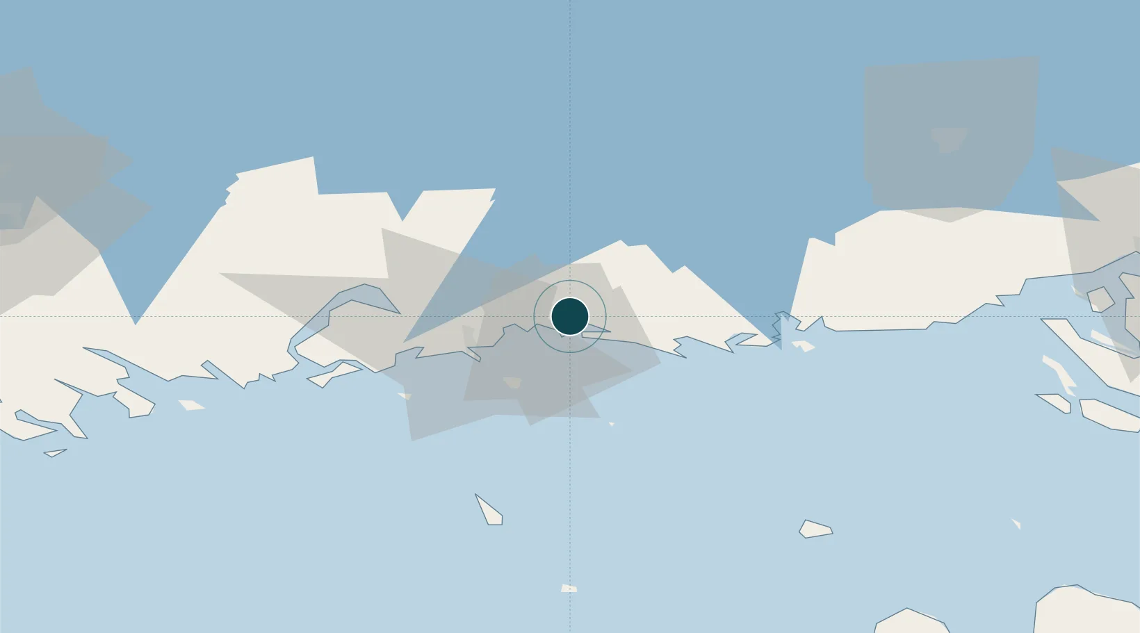
UNCTAD · Port Liner Shipping Connectivity Index

Location

Location of FIHMN
Natural Earth 10m (public domain) · Kymenlaakso · FIHMN · 60.57, 27.20GoogleOSMYandex

Nearby Logistics Neighbours

Ports
  1. 1Kotka17 km
  2. 2Loviisa55 km
  3. 3Gavan Vysotsk75 km
  4. 4Primorsk82 km
  5. 5Vyborg86 km
Nearest neighbours — logibook spatial index (haversine) over the source coordinates
Cities
  1. 1Poitsila3 km
  2. 2Lakulahti6 km
  3. 3Summa6 km
  4. 4Kymenlaakso13 km
  5. 5Klamila16 km
Nearest neighbours — logibook spatial index (haversine) over the source coordinates
Airports
  1. 1Helsinki East-Redstone Aerodrome35 km
  2. 2Utti Air Base39 km
  3. 3Lappeenranta Airport74 km
  4. 4Pribylovo Naval Air Base86 km
  5. 5Mikkeli Airport125 km
Nearest neighbours — logibook spatial index (haversine) over the source coordinates
Trade Zones
  1. 1Port of Hamina-Kotka18 km
  2. 2Free Zone of Lappeenranta72 km
  3. 3Port of Sillamäe131 km
  4. 4St Petersburg Technology Innovative Special Economic Zone174 km
  5. 5Muuga Free Zone187 km
Nearest neighbours — logibook spatial index (haversine) over the source coordinates
DatabookThe Record of Consolidated Knowledge
Finland beyond logistics?
Browse databook

All Sources

Portsthe NGA World Port Index
Public domain (US gov)
Logistics performanceUNCTAD
CC BY 3.0 IGO
AirportsOurAirports
Public domain
LocationsUN/LOCODE
UN/LOCODE — free
Trade Zonesthe World Bank SEZ database
CC BY 4.0
Trade ZonesOpen Zone Map
CC BY
← Finland ports