Transport Functions
Port
Multimodal
Hub Profile
Place type
Populated place
Region
Uusimaa
Time zone
Europe/Helsinki
Elevation
19 m
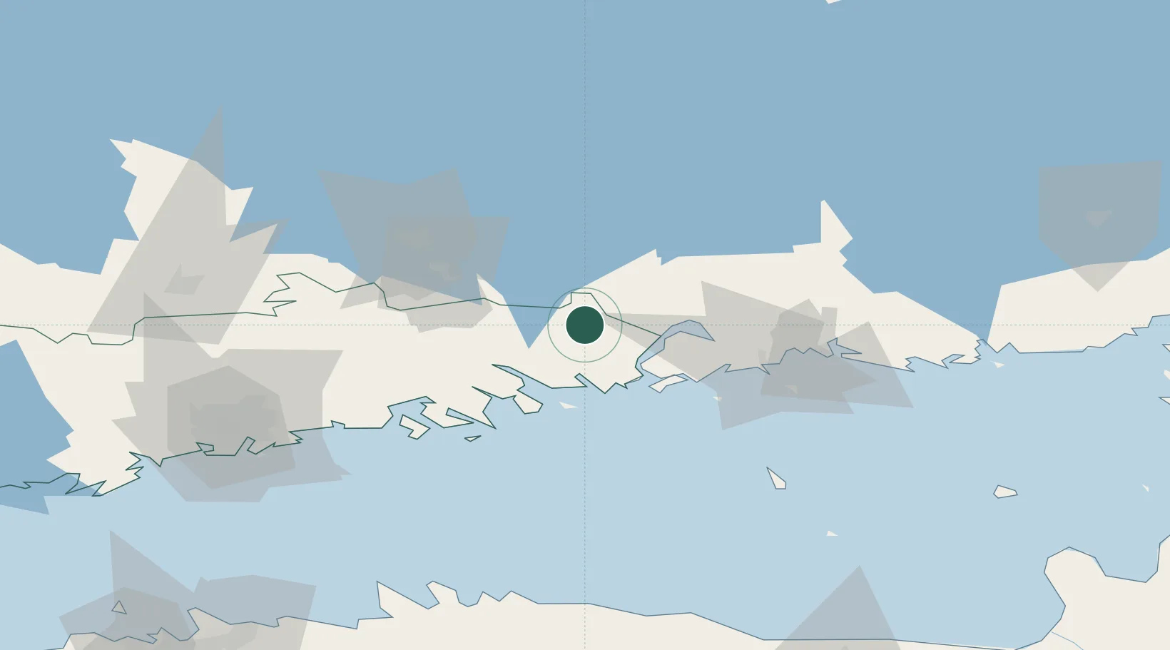
Location
Nearby Logistics Neighbours
Cities
- 1Ruotsinpyhtää (Strömfors)15 km
- 2Tessjö (Tesjoki)19 km
- 3Loviisa (Lovisa)21 km
- 4Pernå (Pernaja)24 km
- 5Kouvola30 km
Airports
- 1Helsinki East-Redstone Aerodrome25 km
- 2Utti Air Base47 km
- 3Helsinki Vantaa Airport80 km
- 4Lappeenranta Airport112 km
- 5Mikkeli Airport127 km
Trade Zones
- 1Port of Hamina-Kotka41 km
- 2Free Zone of Lappeenranta110 km
- 3Port of Sillamäe157 km
- 4Muuga Free Zone164 km
- 5Paldiski Free Zone189 km
DatabookThe Record of Consolidated Knowledge
Finland beyond logistics?