Transport Functions
Port
Hub Profile
Region
18
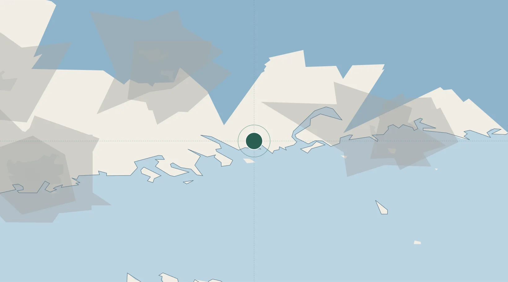
Location
Nearby Logistics Neighbours
Cities
- 1Tessjö (Tesjoki)5 km
- 2Pernå (Pernaja)10 km
- 3Ruotsinpyhtää (Strömfors)15 km
- 4Kallviken15 km
- 5Lindkoski21 km
Airports
- 1Helsinki East-Redstone Aerodrome20 km
- 2Utti Air Base63 km
- 3Helsinki Vantaa Airport71 km
- 4Lappeenranta Airport123 km
- 5Pribylovo Naval Air Base138 km
Trade Zones
- 1Port of Hamina-Kotka39 km
- 2Free Zone of Lappeenranta121 km
- 3Port of Sillamäe141 km
- 4Muuga Free Zone145 km
- 5Paldiski Free Zone173 km
DatabookThe Record of Consolidated Knowledge
Finland beyond logistics?