UN/LOCODE hub · Finland
FITKR

Tikkurila (Dickursby)

60.3000°, 25.0333°
2
Transport functions

Transport Functions

Rail
Road
UN/LOCODE

Hub Profile

Region
18
GeoNames

Location

Location of FITKR
Natural Earth 10m (public domain) · 18 · FITKR · 60.30, 25.03GoogleOSMYandex

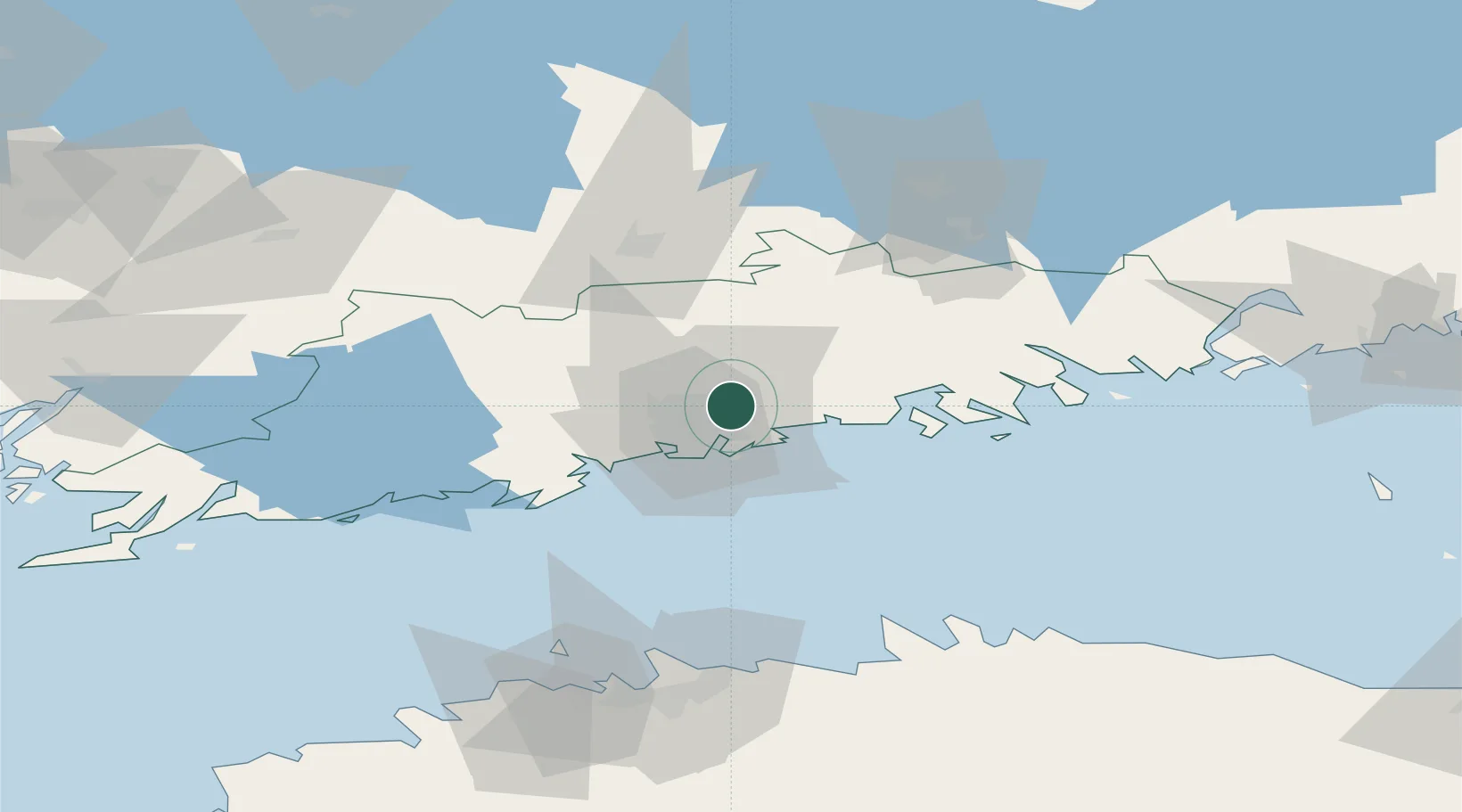
Nearby Logistics Neighbours

Cities
  1. 1Malmi6 km
  2. 2Vuosaari (Nordsjö)12 km
  3. 3Helsingfors (Helsinki)13 km
  4. 4Sibbo (Sipoo)15 km
  5. 5Suomenlinna (Sveaborg)19 km
Nearest neighbours — logibook spatial index (haversine) over the source coordinates
Ports
  1. 1Helsinki15 km
  2. 2Porvoo33 km
  3. 3Tolkkinen43 km
  4. 4Porkkala43 km
  5. 5Loviisa68 km
Nearest neighbours — logibook spatial index (haversine) over the source coordinates
Airports
  1. 1Helsinki Vantaa Airport4 km
  2. 2Helsinki East-Redstone Aerodrome88 km
  3. 3Tallinn Linnahall Heliport96 km
  4. 4Lennart Meri Tallinn Airport99 km
  5. 5Utti Air Base123 km
Nearest neighbours — logibook spatial index (haversine) over the source coordinates
Trade Zones
  1. 1Port of Hamina-Kotka106 km
  2. 2Muuga Free Zone112 km
  3. 3Paldiski Free Zone120 km
  4. 4Freeport of Hanko130 km
  5. 5Turku Free Zone156 km
Nearest neighbours — logibook spatial index (haversine) over the source coordinates
DatabookThe Record of Consolidated Knowledge
Finland beyond logistics?
Browse databook

All Sources

LocationsUN/LOCODE
UN/LOCODE — free
Portsthe NGA World Port Index
Public domain (US gov)
AirportsOurAirports
Public domain
Trade Zonesthe World Bank SEZ database
CC BY 4.0
Trade ZonesOpen Zone Map
CC BY
← Finland locations