Seaport · Estonia
Muuga-Port of TallinEEMUG
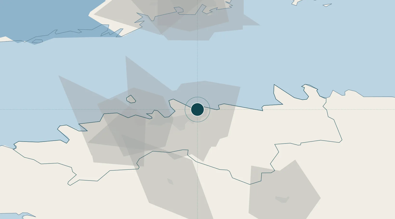
59.5000°, 24.9667°
16.0 m
Channel depth
1
Container terminals
14.1
Port liner connectivity
Channel & Berth Profile
Pilotage, Tugs & Services
Pilotage compulsoryYES
Pilotage availableYES
Pilotage advisableYES
Tug assistanceYES
Shore powerYES
Potable waterYES
Diesel bunkersYES
Facilities & Capabilities
ContainerYES
Ro-RoYES
Liquid bulkYES
Dry bulkYES
Oil terminalNO
Break bulkNO
Dry dock—
RepairsNO
BunkeringYES
Rail linkYES
Dangerous cargoALLOW
ISPS securityYES
Harbour Specifications
Harbour size
Large
Harbour type
Coastal (Breakwater)
Shelter
Fair
Water body
Gulf of Finland; Baltic Sea; North Atlantic Ocean
Tidal range
1 m
Overhead limit
No
Pilotage
Yes
Liner Connectivity
14.1
PLSCI
Port Liner Shipping Connectivity Index for Muuga-Port of Tallin, as published by UNCTAD for the latest available quarter. Higher values indicate stronger scheduled liner-shipping integration.
Shown relative to the highest per-port PLSCI in the dataset (1,657.9).
Location
Container Terminals · 1
TK MUUGA CONTAINER TERMINAL
TKM HHLA TK ESTONIA
Nearby Logistics Neighbours
Ports
- 1Miiduranna9 km
- 2Vanasadam - Port of Tallinn13 km
- 3Paljassaare15 km
- 4Lahesuu16 km
- 5Meeruse18 km
Cities
- 1Tallinn3 km
- 2Maardu5 km
- 3Tammneeme Sadam5 km
- 4Koljunuki7 km
- 5Leppneeme8 km
Airports
- 1Lennart Meri Tallinn Airport12 km
- 2Tallinn Linnahall Heliport13 km
- 3Ämari Air Base51 km
- 4Helsinki Vantaa Airport91 km
- 5Pärnu Airport124 km
Trade Zones
- 1Muuga Free Zone23 km
- 2Paldiski Free Zone54 km
- 3Freeport of Hanko123 km
- 4Port of Hamina-Kotka154 km
- 5Port of Sillamäe156 km
DatabookThe Record of Consolidated Knowledge
Estonia beyond logistics?