UN/LOCODE hub · Finland
FIESP

Esbo (Espoo)

60.2000°, 24.6500°
3
Transport functions

Transport Functions

Port
Road
Multimodal
UN/LOCODE

Hub Profile

Region
18
GeoNames

Location

Location of FIESP
Natural Earth 10m (public domain) · 18 · FIESP · 60.20, 24.65GoogleOSMYandex

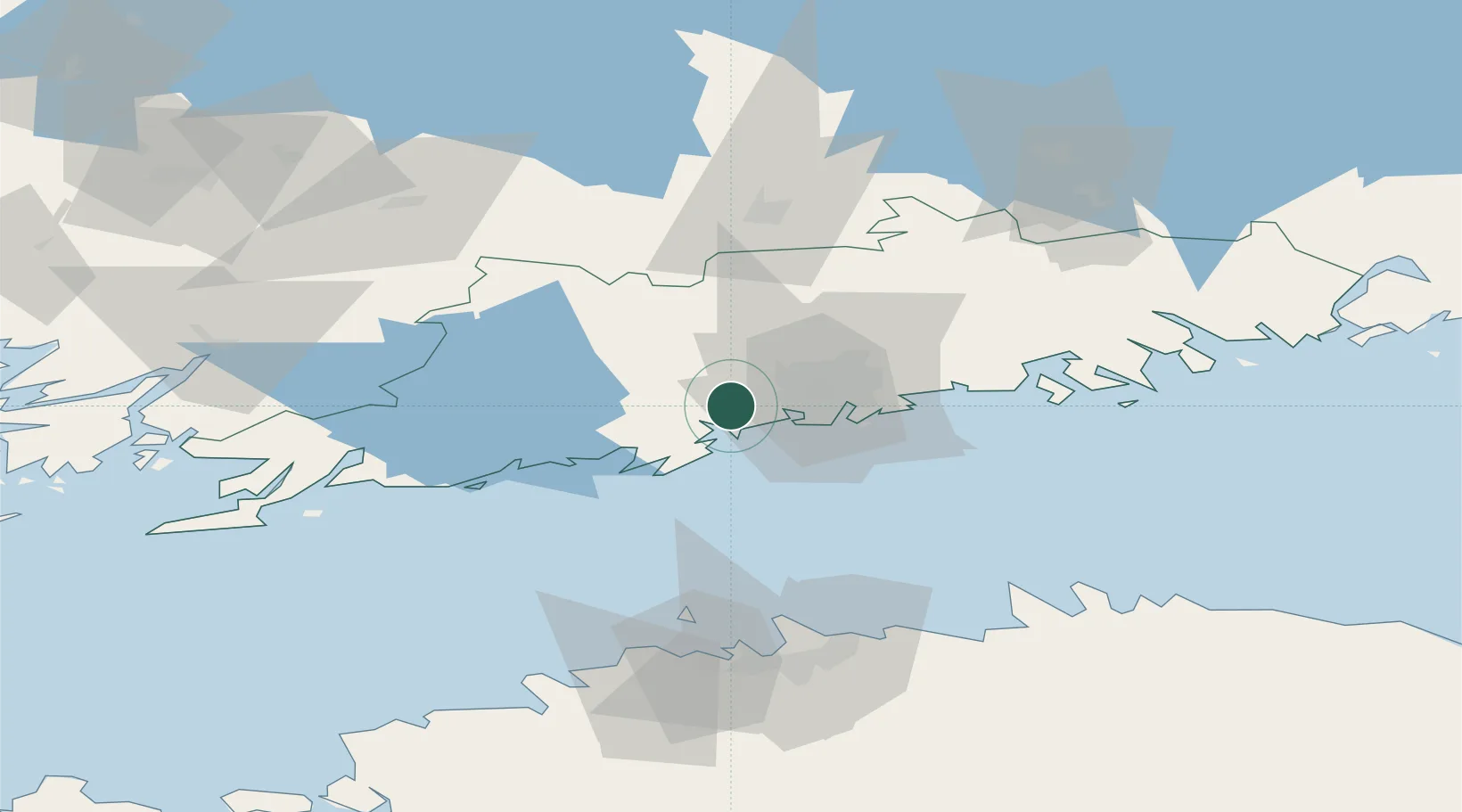
Nearby Logistics Neighbours

Cities
  1. 1Masaby (Masala)9 km
  2. 2Jorvas11 km
  3. 3Kantvik20 km
  4. 4Suomenlinna (Sveaborg)20 km
  5. 5Malmi20 km
Nearest neighbours — logibook spatial index (haversine) over the source coordinates
Ports
  1. 1Helsinki18 km
  2. 2Porkkala20 km
  3. 3Inkoo46 km
  4. 4Tolkkinen55 km
  5. 5Porvoo55 km
Nearest neighbours — logibook spatial index (haversine) over the source coordinates
Airports
  1. 1Helsinki Vantaa Airport22 km
  2. 2Tallinn Linnahall Heliport84 km
  3. 3Lennart Meri Tallinn Airport88 km
  4. 4Ämari Air Base108 km
  5. 5Helsinki East-Redstone Aerodrome111 km
Nearest neighbours — logibook spatial index (haversine) over the source coordinates
Trade Zones
  1. 1Paldiski Free Zone102 km
  2. 2Muuga Free Zone103 km
  3. 3Freeport of Hanko106 km
  4. 4Port of Hamina-Kotka129 km
  5. 5Turku Free Zone137 km
Nearest neighbours — logibook spatial index (haversine) over the source coordinates
DatabookThe Record of Consolidated Knowledge
Finland beyond logistics?
Browse databook

All Sources

LocationsUN/LOCODE
UN/LOCODE — free
Portsthe NGA World Port Index
Public domain (US gov)
AirportsOurAirports
Public domain
Trade Zonesthe World Bank SEZ database
CC BY 4.0
Trade ZonesOpen Zone Map
CC BY
← Finland locations