Transport Functions
Port
Hub Profile
Region
JS
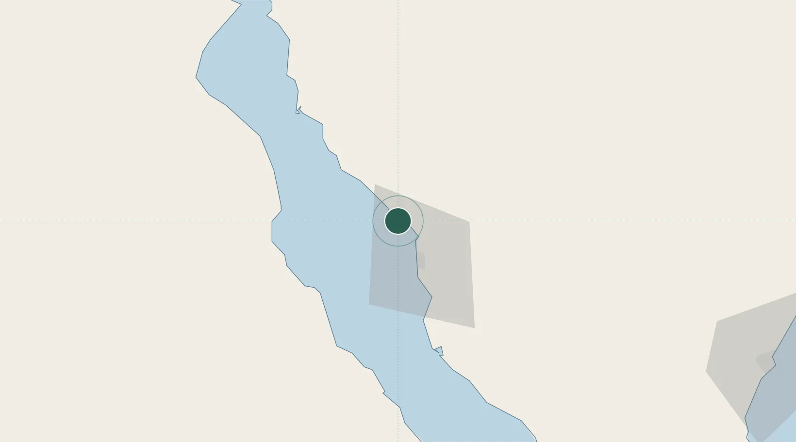
Location
Nearby Logistics Neighbours
Cities
- 1Ras Budran13 km
- 2Dome Marina74 km
- 3Ras Sudr74 km
- 4Galala Marina80 km
- 5Sokhna Port101 km
Ports
- 1Ras Badran Oil Terminal13 km
- 2Wadi Feiran35 km
- 3Ras Sudr71 km
- 4Ras Gharib78 km
- 5Ain Sukhna Terminal98 km
Airports
Trade Zones
- 1Suez Canal Economic Zone107 km
- 2Suez Public Free Zone112 km
- 3Eilat Free Port Zone185 km
- 4El Saf Investment Zone186 km
- 5Shkhoret Industrial Zone187 km
DatabookThe Record of Consolidated Knowledge
Egypt beyond logistics?