Transport Functions
Multimodal
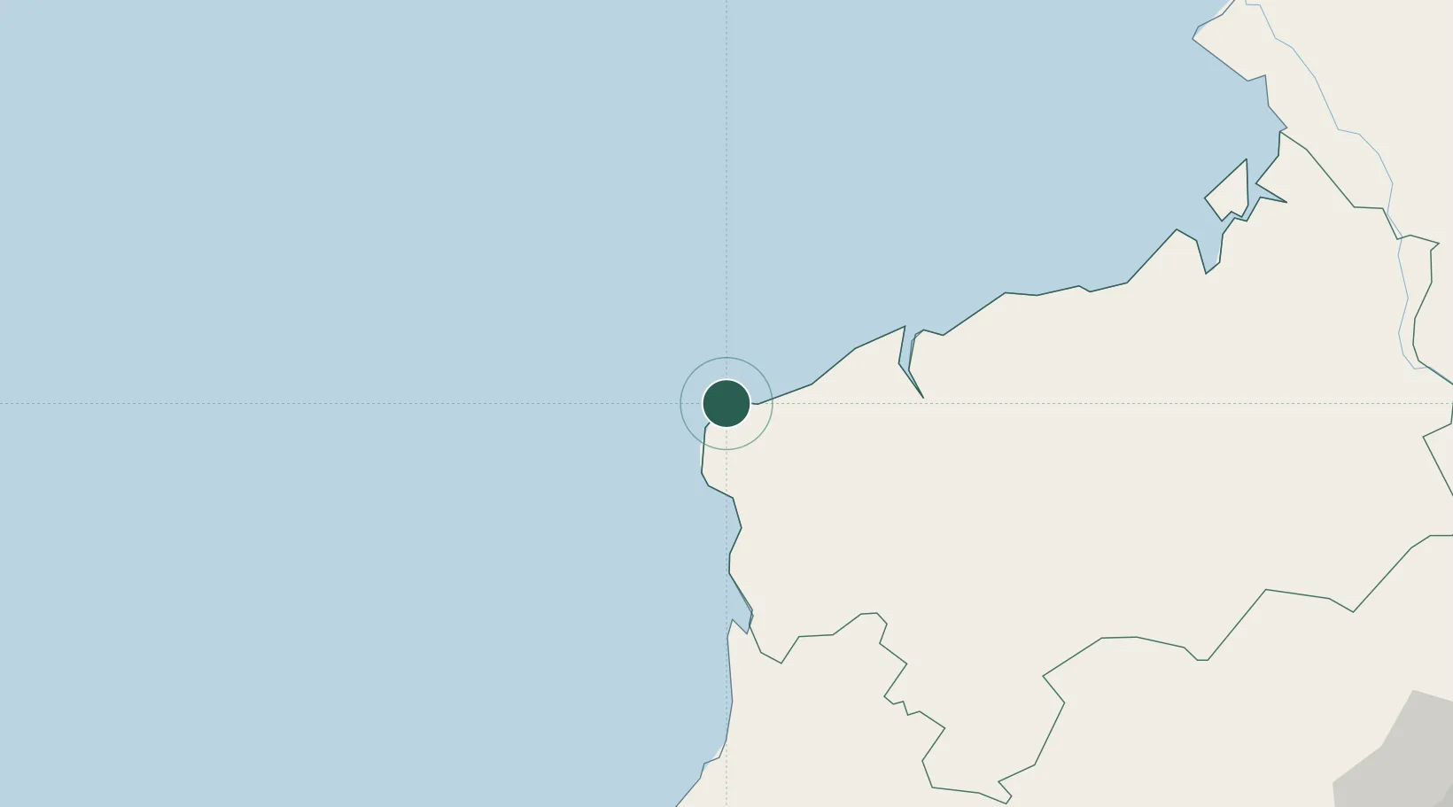
Hub Profile
Place type
Provincial seat
Region
Manabí
Population
5,983
Time zone
America/Guayaquil
Elevation
32 m
Location
Nearby Logistics Neighbours
Cities
- 1Esmeraldas42 km
- 2Quininde85 km
- 3El Carmen140 km
- 4San Lorenzo143 km
- 5Santo Domingo155 km
Ports
- 1Esmeraldas48 km
- 2Tumaco181 km
- 3Manta212 km
- 4Guayaquil338 km
- 5Puerto Maritimo De Guayaquil347 km
Airports
Trade Zones
- 1Zona Franca Mitad del Mundo196 km
- 2Zona Franca Millestonecorp207 km
- 3Zona Franca de Manta214 km
- 4Zona Franca Manabí215 km
- 5Corpaq Tabalela (Quiport)216 km
DatabookThe Record of Consolidated Knowledge
Ecuador beyond logistics?