Seaport · Ecuador
GuayaquilECGYE
-2.2000°, -79.8833°
9.4 m
Channel depth
4
Container terminals
218.9
Port liner connectivity
Channel & Berth Profile
Pilotage, Tugs & Services
Pilotage compulsoryYES
Pilotage availableYES
Tug assistanceYES
Potable waterYES
MedicalYES
Garbage disposalYES
Facilities & Capabilities
Container—
Ro-Ro—
Liquid bulk—
Dry bulk—
Oil terminal—
Break bulk—
Dry dockNO
RepairsNO
BunkeringYES
Rail link—
Dangerous cargo—
ISPS security—
Harbour Specifications
Harbour size
Small
Harbour type
River (Natural)
Shelter
Good
Water body
South Pacific Ocean
Tidal range
4 m
Overhead limit
No
Pilotage
Yes
Liner Connectivity
218.9
PLSCI
Port Liner Shipping Connectivity Index for Guayaquil, as published by UNCTAD for the latest available quarter. Higher values indicate stronger scheduled liner-shipping integration.
Shown relative to the highest per-port PLSCI in the dataset (1,657.9).
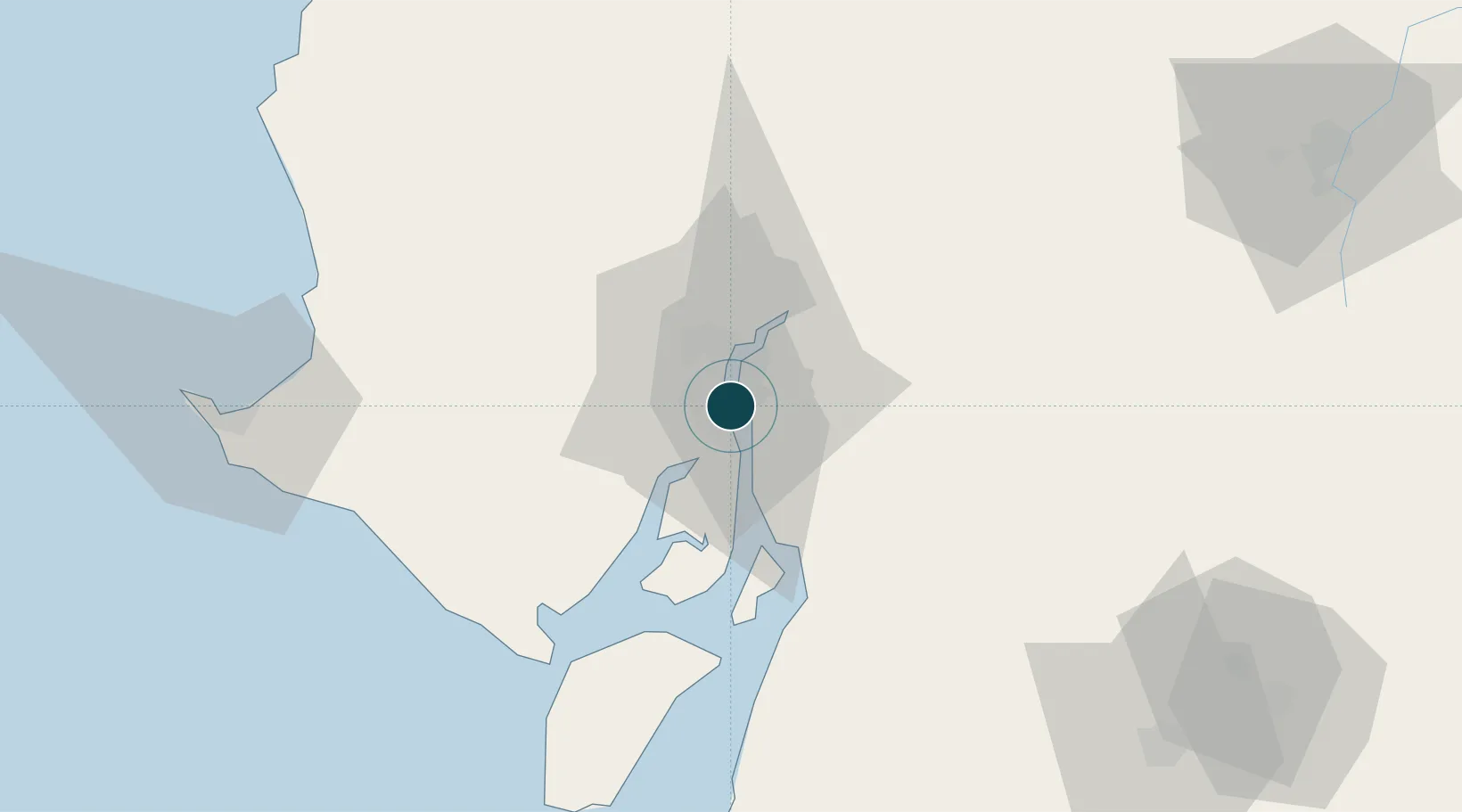
Location
Container Terminals · 4
TERMINAL BANANAPUERTO
BANA NAPORTEC S.A.
CONTECON GUAYAQUIL
CONTE CONTECON GUAYAQUIL S.A.
TERMINAL PORTUARIO FERTISA
FERPOR FERTISA FERTILIZANTES, TERMINALES I SERVICIOS S.A.
TPG - TERMINAL PORTUARIO GUAYAQUIL (INARPI)
TPG TERMINAL PORTUARIO DE GUAYAQUIL
Nearby Logistics Neighbours
Ports
- 1Puerto Maritimo De Guayaquil9 km
- 2La Libertad115 km
- 3Puerto Bolivar119 km
- 4Manta167 km
- 5Puerto Cabo Blanco273 km
Cities
- 1Samborondon2 km
- 2Puerto Nuevo4 km
- 3Durán6 km
- 4La Puntilla6 km
- 5Pascuales14 km
Airports
Trade Zones
- 1Zona Franca Esmeraldas6 km
- 2Contecon Guayaquil Free Zone9 km
- 3DP World Posorja68 km
- 4Posorja ZofraPort SA Free Zone69 km
- 5Zona Franca del Oro122 km
DatabookThe Record of Consolidated Knowledge
Ecuador beyond logistics?