Transport Functions
Road
Multimodal
Hub Profile
Place type
Provincial seat
Region
Manabí
Time zone
America/Guayaquil
Elevation
295 m
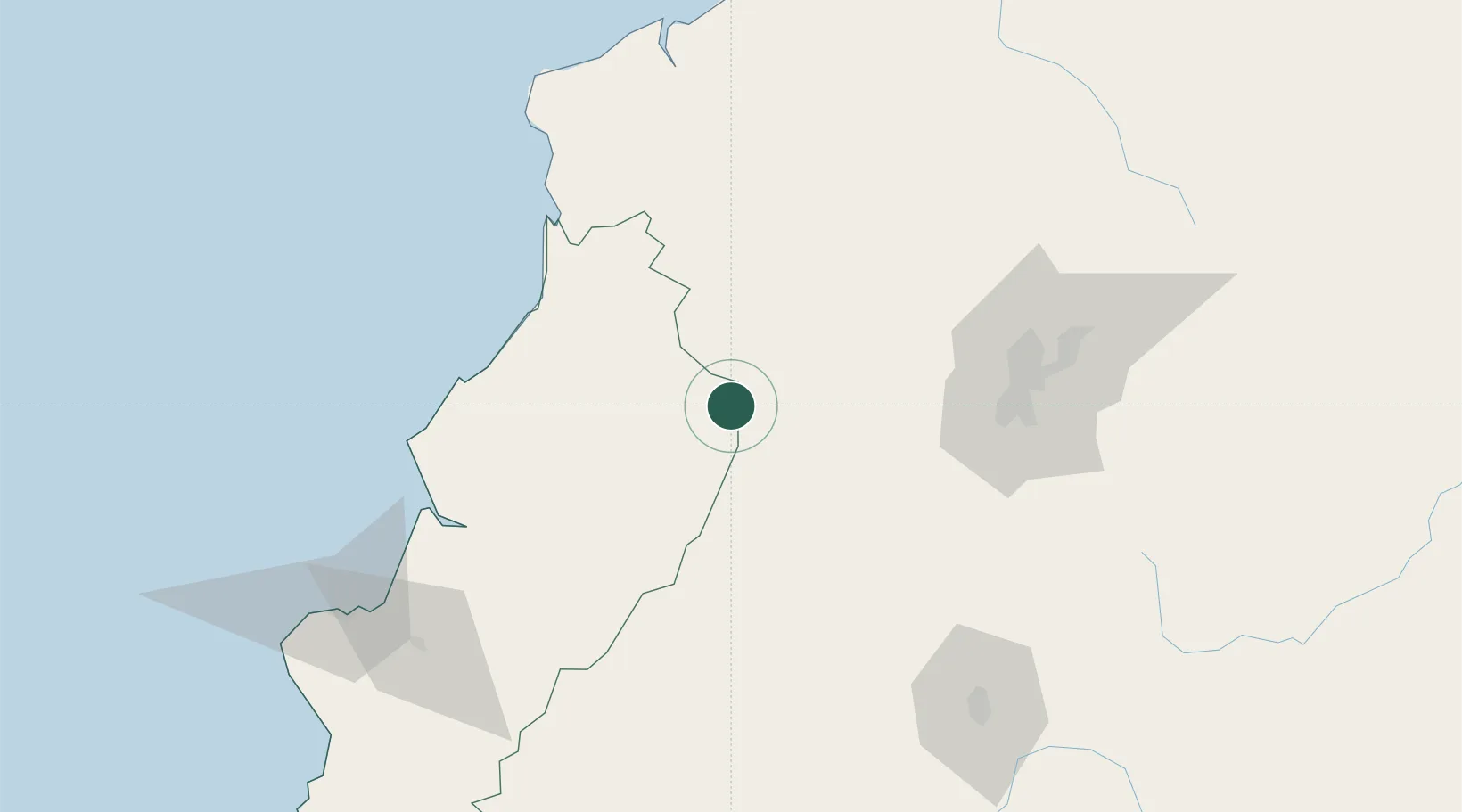
Location
Nearby Logistics Neighbours
Cities
- 1Santo Domingo30 km
- 2Quininde67 km
- 3Valencia77 km
- 4Guayas79 km
- 5Quevedo85 km
Ports
- 1Esmeraldas143 km
- 2Manta162 km
- 3Guayaquil221 km
- 4Puerto Maritimo De Guayaquil230 km
- 5Tumaco244 km
Airports
Trade Zones
- 1Zona Franca Millestonecorp106 km
- 2Zona Franca Mitad del Mundo108 km
- 3Corpaq Tabalela (Quiport)120 km
- 4Metrozona Quito121 km
- 5Zona Franca Manabí161 km
DatabookThe Record of Consolidated Knowledge
Ecuador beyond logistics?