Medium airport · Colombia

San Luis AirportSKIP
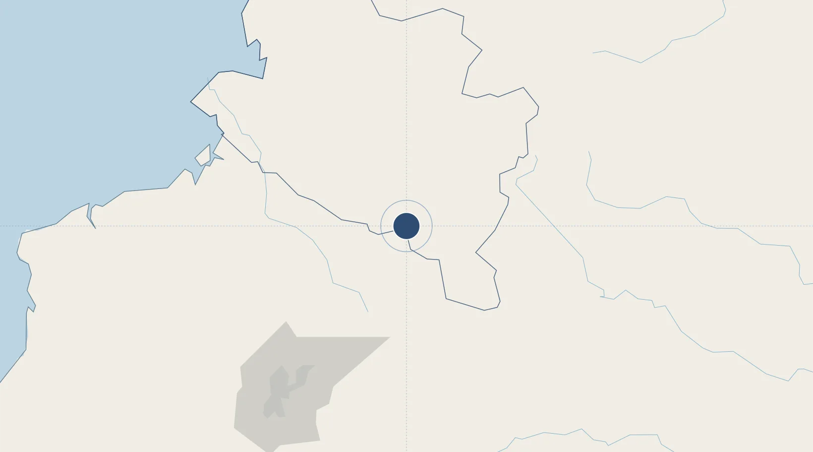
0.8619°, -77.6718°
8,202 ft
Longest runway
1
Runways
9,765 ft
Elevation

Runway & Layout

San Luis Airport runway & taxiway layout
Runway & taxiway layout — OpenStreetMap (ODbL) / OurAirports

Radio Frequencies

TWR
118.3 MHz
APP
120.1 MHz
ANDES APP
RDO
348.8 MHz
IPIALES RDO
OurAirports

Navaids

IPI VOR-DME Ipiales 113.60 MHz
SLI NDB San Luis 244 kHz
OurAirports

Runways · 1

RunwayDimensions SurfaceTrue headingLit
08/26 8,202 × 118ft Asphalt 079°
OurAirports

Airport Specifications

IATA code
IPI
OurAirports
ICAO code
SKIP
OurAirports
Airport class
Medium airport
OurAirports
Scheduled service
Yes
OurAirports
Runway surface
Asphalt
OurAirports
Served city
Ipiales
OurAirports

Location

Location of SKIP
Natural Earth 10m (public domain) · Nariño · SKIP · 0.86, -77.67GoogleOSMYandex

Nearby Logistics Neighbours

Airports
  1. 1Lieutenant Colonel Luis A. Mantilla International Airport7 km
  2. 2Antonio Nariño Airport73 km
  3. 3Mariscal Sucre International Airport134 km
  4. 4Tres De Mayo Airport136 km
  5. 5La Florida Airport160 km
Nearest neighbours — logibook spatial index (haversine) over the source coordinates
Cities
  1. 1Puyo76 km
  2. 2Cotacachi91 km
  3. 3Puerto Limón132 km
  4. 4Puerto Asís136 km
  5. 5San Lorenzo136 km
Nearest neighbours — logibook spatial index (haversine) over the source coordinates
Ports
  1. 1Tumaco160 km
  2. 2Esmeraldas221 km
  3. 3Buenaventura343 km
  4. 4Manta394 km
  5. 5Guayaquil420 km
Nearest neighbours — logibook spatial index (haversine) over the source coordinates
Trade Zones
  1. 1Zona Franca Mitad del Mundo132 km
  2. 2Corpaq Tabalela (Quiport)134 km
  3. 3Metrozona Quito136 km
  4. 4Zona Franca Millestonecorp146 km
  5. 5Zona Franca Parque Sur290 km
Nearest neighbours — logibook spatial index (haversine) over the source coordinates
DatabookThe Record of Consolidated Knowledge
Colombia beyond logistics?
Browse databook

All Sources

AirportsOurAirports
Public domain
Portsthe NGA World Port Index
Public domain (US gov)
LocationsUN/LOCODE
UN/LOCODE — free
Trade Zonesthe World Bank SEZ database
CC BY 4.0
Trade ZonesOpen Zone Map
CC BY
InfrastructureOpenStreetMap
ODbL 1.0
← Colombia airports