UN/LOCODE hub · Ecuador
ECEQA

Quininde

0.3333°, -79.4667°
1
Transport functions

Transport Functions

Multimodal
UN/LOCODE

Hub Profile

Place type
Populated place
GeoNames
Region
Esmeraldas
GeoNames
Time zone
America/Guayaquil
GeoNames
Elevation
88 m
GeoNames

Location

Location of ECEQA
Natural Earth 10m (public domain) · Esmeraldas · ECEQA · 0.33, -79.47GoogleOSMYandex

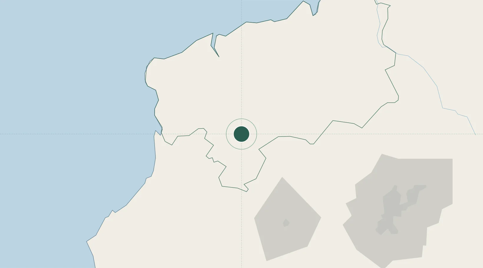
Nearby Logistics Neighbours

Cities
  1. 1El Carmen67 km
  2. 2Santo Domingo73 km
  3. 3Esmeraldas77 km
  4. 4Pedernales85 km
  5. 5Ruminahui122 km
Nearest neighbours — logibook spatial index (haversine) over the source coordinates
Ports
  1. 1Esmeraldas77 km
  2. 2Tumaco183 km
  3. 3Manta199 km
  4. 4Guayaquil286 km
  5. 5Puerto Maritimo De Guayaquil295 km
Nearest neighbours — logibook spatial index (haversine) over the source coordinates
Airports
  1. 1Carlos Concha Torres International Airport74 km
  2. 2Mariscal Sucre International Airport134 km
  3. 3Cotopaxi International Airport167 km
  4. 4La Florida Airport183 km
  5. 5Reales Tamarindos Airport189 km
Nearest neighbours — logibook spatial index (haversine) over the source coordinates
Trade Zones
  1. 1Zona Franca Mitad del Mundo114 km
  2. 2Zona Franca Millestonecorp123 km
  3. 3Corpaq Tabalela (Quiport)133 km
  4. 4Metrozona Quito136 km
  5. 5Zona Franca Manabí201 km
Nearest neighbours — logibook spatial index (haversine) over the source coordinates
DatabookThe Record of Consolidated Knowledge
Ecuador beyond logistics?
Browse databook

All Sources

LocationsUN/LOCODE
UN/LOCODE — free
Portsthe NGA World Port Index
Public domain (US gov)
AirportsOurAirports
Public domain
Trade Zonesthe World Bank SEZ database
CC BY 4.0
Trade ZonesOpen Zone Map
CC BY
← Ecuador locations