Medium airport · Colombia

La Florida AirportSKCO
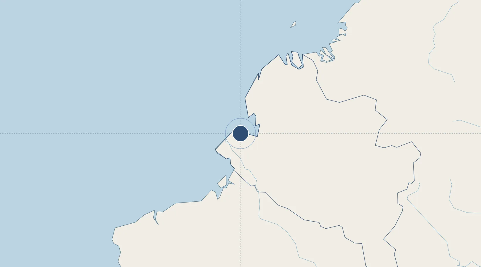
1.8144°, -78.7492°
5,249 ft
Longest runway
1
Runways
8 ft
Elevation

Runway & Layout

La Florida Airport runway & taxiway layout
Runway & taxiway layout — OpenStreetMap (ODbL) / OurAirports

Radio Frequencies

TWR
118.1 MHz
RDO
348.8 MHz
TUMACO RDO
OurAirports

Navaids

TCO VOR-DME Tumaco 114.00 MHz
TCO NDB Tumaco 355 kHz
OurAirports

Runways · 1

RunwayDimensions SurfaceTrue headingLit
06/24 5,249 × 90ft Asphalt 054°
OurAirports

Airport Specifications

IATA code
TCO
OurAirports
ICAO code
SKCO
OurAirports
Airport class
Medium airport
OurAirports
Scheduled service
Yes
OurAirports
Runway surface
Asphalt
OurAirports
Served city
Tumaco
OurAirports

Location

Location of SKCO
Natural Earth 10m (public domain) · Nariño · SKCO · 1.81, -78.75GoogleOSMYandex

Nearby Logistics Neighbours

Airports
  1. 1Guapi Airport127 km
  2. 2Carlos Concha Torres International Airport135 km
  3. 3San Luis Airport160 km
  4. 4Lieutenant Colonel Luis A. Mantilla International Airport161 km
  5. 5Antonio Nariño Airport169 km
Nearest neighbours — logibook spatial index (haversine) over the source coordinates
Cities
  1. 1Chambo21 km
  2. 2San Lorenzo64 km
  3. 3Puyo94 km
  4. 4Esmeraldas140 km
  5. 5Balboa172 km
Nearest neighbours — logibook spatial index (haversine) over the source coordinates
Ports
  1. 1Tumaco0 km
  2. 2Esmeraldas135 km
  3. 3Buenaventura296 km
  4. 4Manta377 km
  5. 5Guayaquil464 km
Nearest neighbours — logibook spatial index (haversine) over the source coordinates
Trade Zones
  1. 1Zona Franca Mitad del Mundo203 km
  2. 2Corpaq Tabalela (Quiport)220 km
  3. 3Zona Franca Millestonecorp223 km
  4. 4Metrozona Quito223 km
  5. 5Zona Franca Parque Sur296 km
Nearest neighbours — logibook spatial index (haversine) over the source coordinates
DatabookThe Record of Consolidated Knowledge
Colombia beyond logistics?
Browse databook

All Sources

AirportsOurAirports
Public domain
Portsthe NGA World Port Index
Public domain (US gov)
LocationsUN/LOCODE
UN/LOCODE — free
Trade Zonesthe World Bank SEZ database
CC BY 4.0
Trade ZonesOpen Zone Map
CC BY
InfrastructureOpenStreetMap
ODbL 1.0
← Colombia airports