Transport Functions
Port
Airport
Hub Profile
Place type
Regional capital
Region
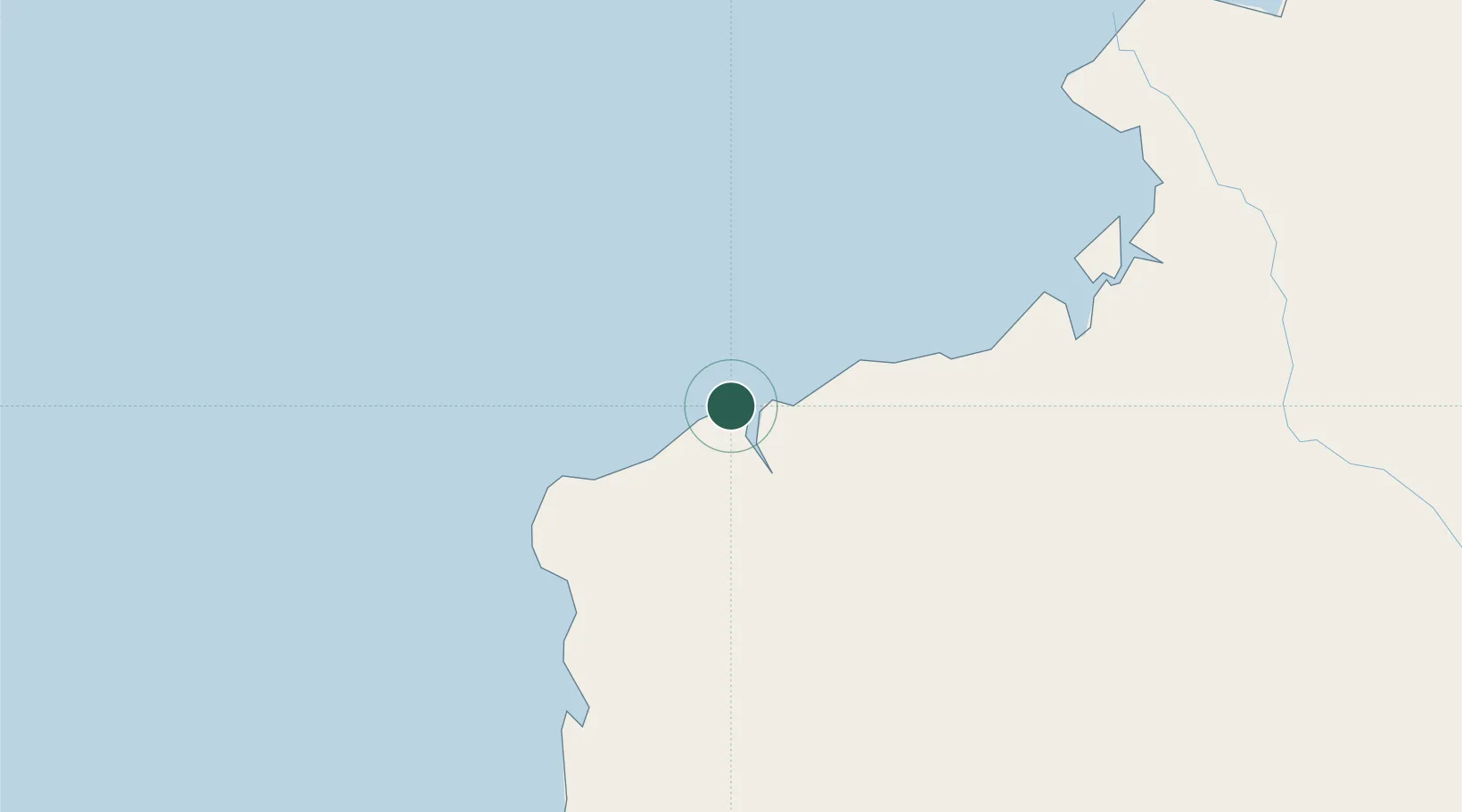
Esmeraldas
Population
218,727
Time zone
America/Guayaquil
Elevation
18 m
Location
Nearby Logistics Neighbours
Cities
- 1Pedernales42 km
- 2Quininde77 km
- 3San Lorenzo101 km
- 4El Carmen142 km
- 5Santo Domingo149 km
Ports
- 1Tumaco141 km
- 2Manta243 km
- 3Guayaquil355 km
- 4Puerto Maritimo De Guayaquil364 km
- 5La Libertad381 km
Airports
Trade Zones
- 1Zona Franca Mitad del Mundo173 km
- 2Zona Franca Millestonecorp187 km
- 3Corpaq Tabalela (Quiport)193 km
- 4Metrozona Quito196 km
- 5Zona Franca de Manta246 km
DatabookThe Record of Consolidated Knowledge
Ecuador beyond logistics?