Large airport · Ecuador

Mariscal Sucre International AirportSEQM
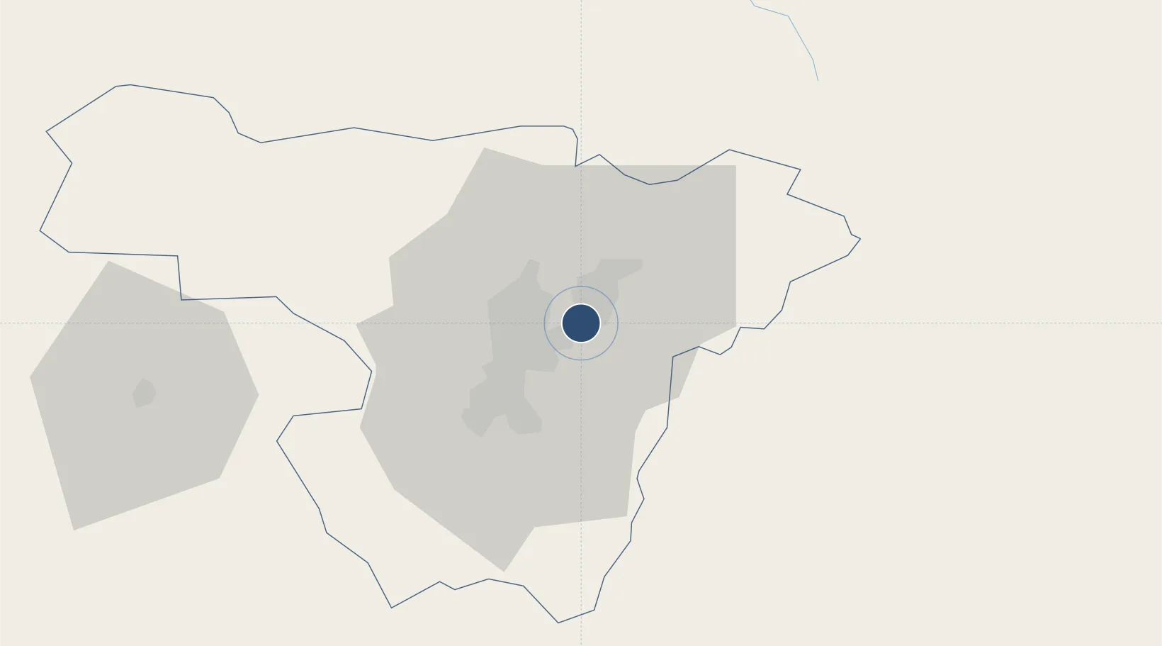
-0.1254°, -78.3543°
13,445 ft
Longest runway
1
Runways
7,841 ft
Elevation

Runway & Layout

Mariscal Sucre International Airport runway & taxiway layout
Runway & taxiway layout — OpenStreetMap (ODbL) / OurAirports

Radio Frequencies

ATIS
119.8 MHz
TWR
118.1 MHz
Quito Tower
APPR
119.7 MHz
Quito Approach
APPR2
121.2 MHz
Quito Approach
GRD
121.9 MHz
Quito Ground
OurAirports

Runways · 1

RunwayDimensions SurfaceTrue headingLit
18/36 13,445 × 148ft Concrete 180°
OurAirports

Airport Specifications

IATA code
UIO
OurAirports
ICAO code
SEQM
OurAirports
Airport class
Large airport
OurAirports
Scheduled service
Yes
OurAirports
Runway surface
Concrete
OurAirports
Served city
Quito
OurAirports

Location

Location of SEQM
Natural Earth 10m (public domain) · Pichincha · SEQM · -0.13, -78.35GoogleOSMYandex

Nearby Logistics Neighbours

Airports
  1. 1Cotopaxi International Airport92 km
  2. 2Chachoán Regional Airport123 km
  3. 3Lieutenant Colonel Luis A. Mantilla International Airport126 km
  4. 4San Luis Airport134 km
  5. 5Jumandy Airport135 km
Nearest neighbours — logibook spatial index (haversine) over the source coordinates
Cities
  1. 1Ruminahui21 km
  2. 2Machachi48 km
  3. 3Cotacachi48 km
  4. 4Santo Domingo91 km
  5. 5Tena113 km
Nearest neighbours — logibook spatial index (haversine) over the source coordinates
Ports
  1. 1Esmeraldas191 km
  2. 2Tumaco220 km
  3. 3Manta278 km
  4. 4Guayaquil287 km
  5. 5Puerto Maritimo De Guayaquil295 km
Nearest neighbours — logibook spatial index (haversine) over the source coordinates
Trade Zones
  1. 1Corpaq Tabalela (Quiport)1 km
  2. 2Metrozona Quito3 km
  3. 3Zona Franca Millestonecorp16 km
  4. 4Zona Franca Mitad del Mundo21 km
  5. 5Zona Franca Manabí277 km
Nearest neighbours — logibook spatial index (haversine) over the source coordinates
DatabookThe Record of Consolidated Knowledge
Ecuador beyond logistics?
Browse databook

All Sources

AirportsOurAirports
Public domain
Portsthe NGA World Port Index
Public domain (US gov)
LocationsUN/LOCODE
UN/LOCODE — free
Trade Zonesthe World Bank SEZ database
CC BY 4.0
Trade ZonesOpen Zone Map
CC BY
InfrastructureOpenStreetMap
ODbL 1.0
← Ecuador airports