Free Trade Zone · Ecuador

Metrozona Quito Active
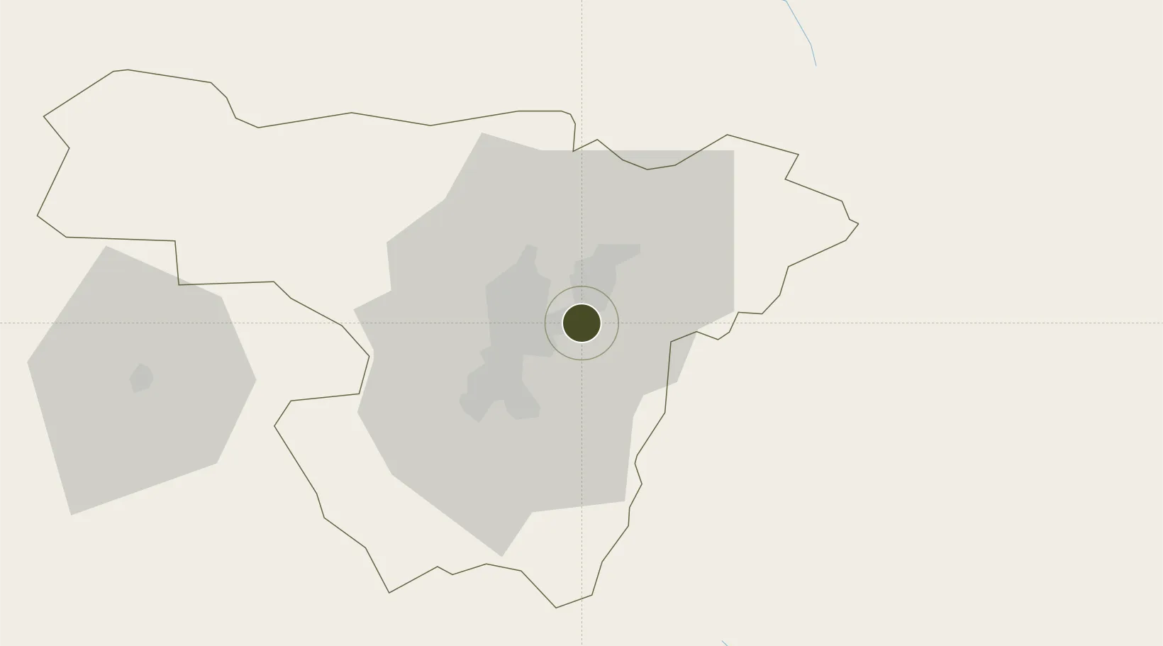
-0.1532°, -78.3490°
10 ha
Zone area
193.3 km
Nearest port
3.1 km
Nearest airport

Gateway access

Nearest neighbours — logibook spatial index (haversine) over the source coordinates

Zone profile

Zone type
Free Trade Zone
Open Zone Map
Region
Pichincha
Open Zone Map
Status
Active
Open Zone Map
Management
Private
Open Zone Map
Operator
Metrozona SA
Open Zone Map
Legal framework
Codification 2005 – 004, R.O. %23 562 April 11 2002; Free Trade Zone ("FTZ") law in 1991
Open Zone Map

Location

Location of ozm-1841
Natural Earth 10m (public domain) · Pichincha · ozm-1841 · -0.15, -78.35GoogleOSMYandex

Nearby Logistics Neighbours

Ports
  1. 1Esmeraldas193 km
  2. 2Tumaco224 km
  3. 3Manta278 km
  4. 4Guayaquil284 km
  5. 5Puerto Maritimo De Guayaquil293 km
Nearest neighbours — logibook spatial index (haversine) over the source coordinates
Airports
  1. 1Mariscal Sucre International Airport3 km
  2. 2Cotopaxi International Airport89 km
  3. 3Chachoán Regional Airport120 km
  4. 4Lieutenant Colonel Luis A. Mantilla International Airport129 km
  5. 5Jumandy Airport132 km
Nearest neighbours — logibook spatial index (haversine) over the source coordinates
Cities
  1. 1Ruminahui20 km
  2. 2Machachi46 km
  3. 3Cotacachi51 km
  4. 4Santo Domingo92 km
  5. 5Tena110 km
Nearest neighbours — logibook spatial index (haversine) over the source coordinates
Trade Zones
  1. 1Corpaq Tabalela (Quiport)4 km
  2. 2Zona Franca Millestonecorp15 km
  3. 3Zona Franca Mitad del Mundo24 km
  4. 4Zona Franca Manabí277 km
  5. 5Zona Franca de Manta281 km
Nearest neighbours — logibook spatial index (haversine) over the source coordinates
DatabookThe Record of Consolidated Knowledge
Ecuador beyond logistics?
Browse databook

All Sources

Trade ZonesOpen Zone Map
CC BY
Portsthe NGA World Port Index
Public domain (US gov)
AirportsOurAirports
Public domain
LocationsUN/LOCODE
UN/LOCODE — free
← Ecuador trade zones