Free Trade Zone · Ecuador

Zona Franca de Manta Active
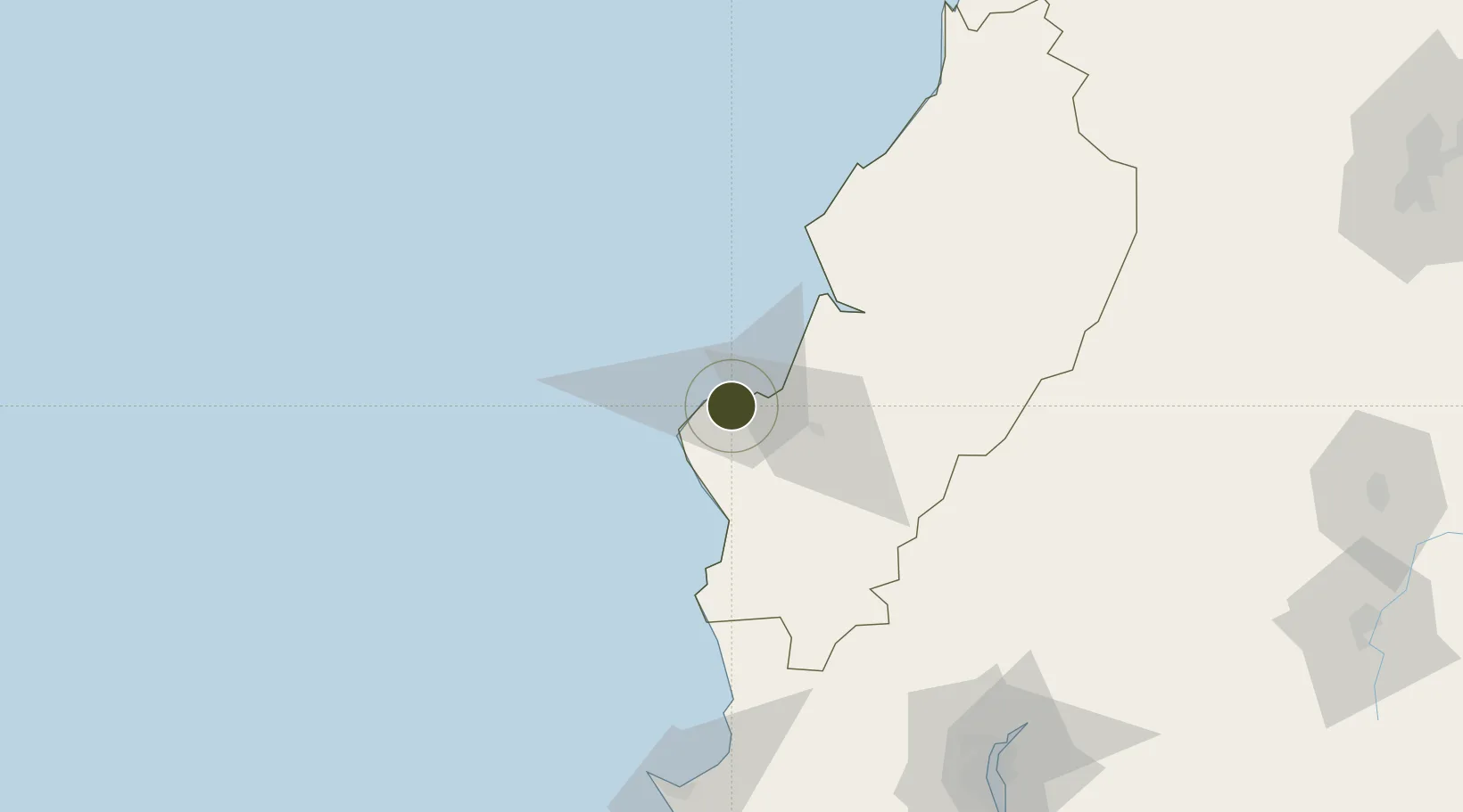
-0.9681°, -80.7362°
110 ha
Zone area
3.0 km
Nearest port
6.8 km
Nearest airport

Gateway access

Nearest neighbours — logibook spatial index (haversine) over the source coordinates

Zone profile

Zone type
Free Trade Zone
Open Zone Map
Region
Manabi
Open Zone Map
Status
Active
Open Zone Map
Management
Public-Private Partnership
Open Zone Map
Operator
Zonamanta, SA
Open Zone Map
Legal framework
Codification 2005 – 004, R.O. %23 562 April 11 2002; Free Trade Zone ("FTZ") law in 1991
Open Zone Map

Location

Location of ozm-1845
Natural Earth 10m (public domain) · Manabi · ozm-1845 · -0.97, -80.74GoogleOSMYandex

Nearby Logistics Neighbours

Ports
  1. 1Manta3 km
  2. 2La Libertad140 km
  3. 3Guayaquil167 km
  4. 4Puerto Maritimo De Guayaquil173 km
  5. 5Esmeraldas250 km
Nearest neighbours — logibook spatial index (haversine) over the source coordinates
Airports
  1. 1Eloy Alfaro International Airport7 km
  2. 2Reales Tamarindos Airport31 km
  3. 3General Ulpiano Paez International Airport141 km
  4. 4José Joaquín de Olmedo International Airport163 km
  5. 5Cotopaxi International Airport236 km
Nearest neighbours — logibook spatial index (haversine) over the source coordinates
Cities
  1. 1Manta3 km
  2. 2Montecristi12 km
  3. 3Jipijapa44 km
  4. 4Bahía de Caráquez53 km
  5. 5Chone78 km
Nearest neighbours — logibook spatial index (haversine) over the source coordinates
Trade Zones
  1. 1Zona Franca Manabí6 km
  2. 2Zona Franca Esmeraldas161 km
  3. 3Contecon Guayaquil Free Zone173 km
  4. 4DP World Posorja199 km
  5. 5Posorja ZofraPort SA Free Zone200 km
Nearest neighbours — logibook spatial index (haversine) over the source coordinates
DatabookThe Record of Consolidated Knowledge
Ecuador beyond logistics?
Browse databook

All Sources

Trade ZonesOpen Zone Map
CC BY
Portsthe NGA World Port Index
Public domain (US gov)
AirportsOurAirports
Public domain
LocationsUN/LOCODE
UN/LOCODE — free
← Ecuador trade zones