Channel & Berth Profile
Pilotage, Tugs & Services
Pilotage compulsoryYES
Pilotage advisableYES
Local assistanceYES
Tug assistanceYES
Potable waterNO
Diesel bunkersYES
MedicalYES
Facilities & Capabilities
Container—
Ro-Ro—
Liquid bulk—
Dry bulk—
Oil terminal—
Break bulk—
Dry dock—
RepairsNO
BunkeringYES
Rail linkYES
Dangerous cargo—
ISPS security—
Harbour Specifications
Harbour size
Very Small
Harbour type
Open Roadstead
Shelter
Fair
Water body
South Pacific Ocean
Tidal range
2.1 m
Pilotage
Yes
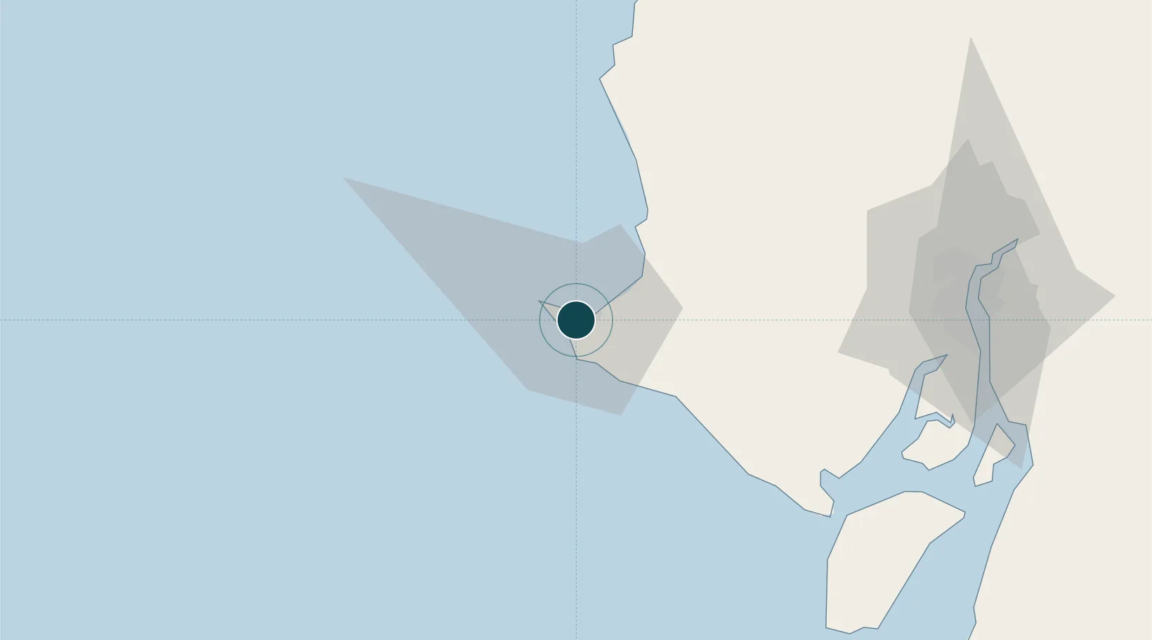
Location
Nearby Logistics Neighbours
Ports
- 1Puerto Maritimo De Guayaquil113 km
- 2Guayaquil115 km
- 3Manta143 km
- 4Puerto Bolivar155 km
- 5Puerto Cabo Blanco229 km
Cities
- 1Salinas6 km
- 2Santa Elena7 km
- 3Zapotal44 km
- 4Playas75 km
- 5Milagro77 km
Airports
Trade Zones
- 1DP World Posorja91 km
- 2Posorja ZofraPort SA Free Zone91 km
- 3Zona Franca Esmeraldas111 km
- 4Contecon Guayaquil Free Zone113 km
- 5Zona Franca Manabí138 km
DatabookThe Record of Consolidated Knowledge
Ecuador beyond logistics?