Free Trade Zone · Ecuador

Corpaq Tabalela (Quiport) Active
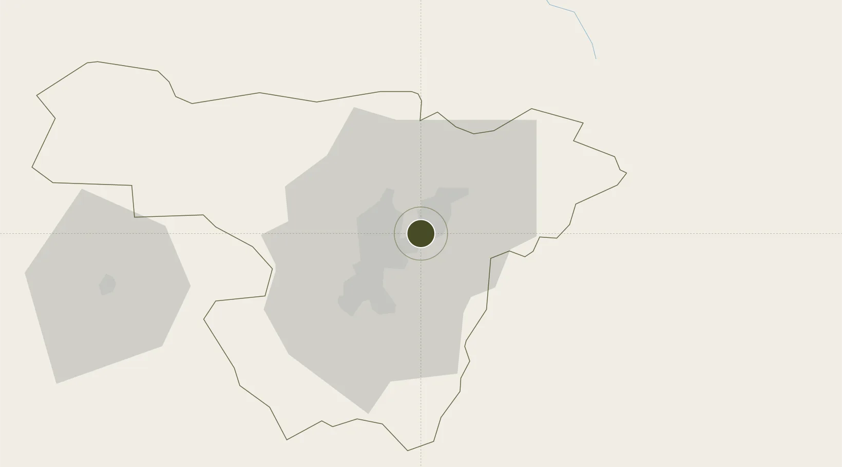
-0.1242°, -78.3628°
373 ha
Zone area
190.0 km
Nearest port
0.9 km
Nearest airport

Gateway access

Nearest neighbours — logibook spatial index (haversine) over the source coordinates

Zone profile

Zone type
Free Trade Zone
Open Zone Map
Region
Pichincha
Open Zone Map
Status
Active
Open Zone Map
Management
Public
Open Zone Map
Operator
Corporacion Aeropuerto y Zona Franca del Distrito Metropolitano de Quito (CORPAQ)
Open Zone Map
Legal framework
Official Register %23121 of 2005, Public Decree 545; Free Trade Zone ("FTZ") law in 1991
Open Zone Map

Location

Location of ozm-1847
Natural Earth 10m (public domain) · Pichincha · ozm-1847 · -0.12, -78.36GoogleOSMYandex

Nearby Logistics Neighbours

Ports
  1. 1Esmeraldas190 km
  2. 2Tumaco220 km
  3. 3Manta277 km
  4. 4Guayaquil286 km
  5. 5Puerto Maritimo De Guayaquil295 km
Nearest neighbours — logibook spatial index (haversine) over the source coordinates
Airports
  1. 1Mariscal Sucre International Airport1 km
  2. 2Cotopaxi International Airport92 km
  3. 3Chachoán Regional Airport123 km
  4. 4Lieutenant Colonel Luis A. Mantilla International Airport127 km
  5. 5San Luis Airport134 km
Nearest neighbours — logibook spatial index (haversine) over the source coordinates
Cities
  1. 1Ruminahui20 km
  2. 2Machachi48 km
  3. 3Cotacachi48 km
  4. 4Santo Domingo91 km
  5. 5Tena113 km
Nearest neighbours — logibook spatial index (haversine) over the source coordinates
Trade Zones
  1. 1Metrozona Quito4 km
  2. 2Zona Franca Millestonecorp15 km
  3. 3Zona Franca Mitad del Mundo21 km
  4. 4Zona Franca Manabí276 km
  5. 5Zona Franca de Manta280 km
Nearest neighbours — logibook spatial index (haversine) over the source coordinates
DatabookThe Record of Consolidated Knowledge
Ecuador beyond logistics?
Browse databook

All Sources

Trade ZonesOpen Zone Map
CC BY
Portsthe NGA World Port Index
Public domain (US gov)
AirportsOurAirports
Public domain
LocationsUN/LOCODE
UN/LOCODE — free
← Ecuador trade zones