Medium airport · Ecuador
Lieutenant Colonel Luis A. Mantilla International AirportSETU
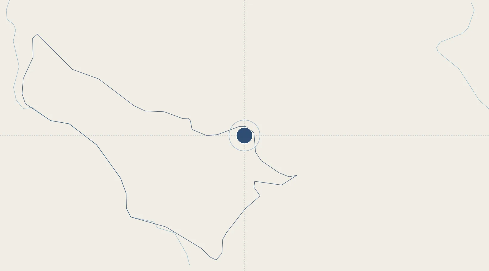
0.8095°, -77.7081°
8,071 ft
Longest runway
1
Runways
9,649 ft
Elevation
Runway & Layout

Radio Frequencies
TWR
122 MHz
TULCAN TWR
APP
120.1 MHz
ANDES APP
Navaids
TLC NDB Tulcan 418 kHz
Runways · 1
| Runway | Dimensions | Surface | True heading | Lit |
|---|---|---|---|---|
| 05/23 | 8,071 × 98ft | Asphalt | 055° | — |
Airport Specifications
IATA code
TUA
ICAO code
SETU
Airport class
Medium airport
Scheduled service
Yes
Runway surface
Asphalt
Served city
Tulcán
Location
Nearby Logistics Neighbours
Airports
- 1San Luis Airport7 km
- 2Antonio Nariño Airport80 km
- 3Mariscal Sucre International Airport126 km
- 4Tres De Mayo Airport138 km
- 5La Florida Airport161 km
Cities
- 1Puyo79 km
- 2Cotacachi84 km
- 3San Lorenzo134 km
- 4Puerto Limón137 km
- 5Puerto Asís138 km
Ports
- 1Tumaco161 km
- 2Esmeraldas217 km
- 3Buenaventura349 km
- 4Manta388 km
- 5Guayaquil413 km
Trade Zones
- 1Zona Franca Mitad del Mundo125 km
- 2Corpaq Tabalela (Quiport)127 km
- 3Metrozona Quito129 km
- 4Zona Franca Millestonecorp139 km
- 5Zona Franca Parque Sur297 km
DatabookThe Record of Consolidated Knowledge
Ecuador beyond logistics?