Transport Functions
Port
Hub Profile
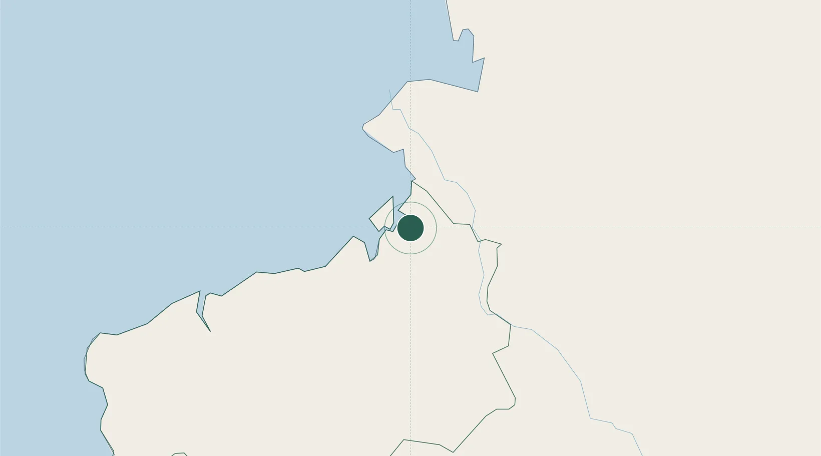
Place type
Populated place
Region
Imbabura
Time zone
America/Guayaquil
Elevation
1,411 m
Location
Nearby Logistics Neighbours
Cities
- 1Chambo61 km
- 2Puyo98 km
- 3Esmeraldas101 km
- 4Cotacachi123 km
- 5Quininde124 km
Ports
- 1Tumaco64 km
- 2Esmeraldas95 km
- 3Manta322 km
- 4Buenaventura353 km
- 5Guayaquil401 km
Airports
Trade Zones
- 1Zona Franca Mitad del Mundo144 km
- 2Corpaq Tabalela (Quiport)162 km
- 3Zona Franca Millestonecorp163 km
- 4Metrozona Quito165 km
- 5Zona Franca Manabí324 km
DatabookThe Record of Consolidated Knowledge
Ecuador beyond logistics?