Free Trade Zone · Ecuador

Zona Franca Mitad del Mundo Inactive
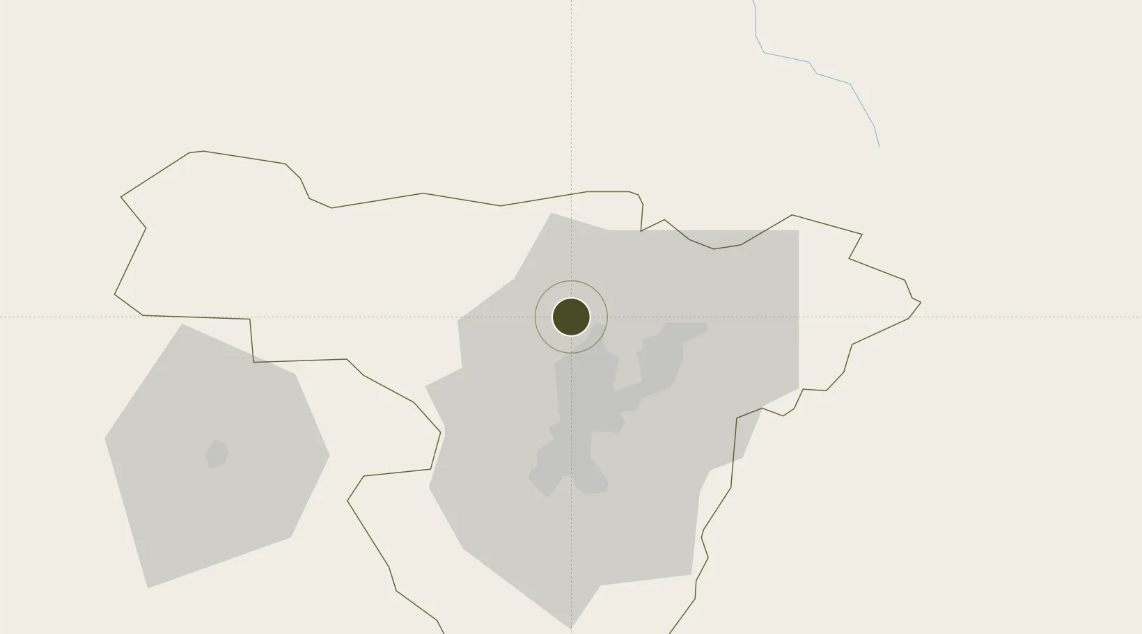
0.0041°, -78.4970°
169.4 km
Nearest port
21.4 km
Nearest airport

Gateway access

Nearest neighbours — logibook spatial index (haversine) over the source coordinates

Zone profile

Zone type
Free Trade Zone
Open Zone Map
Region
Pichincha
Open Zone Map
Status
Inactive
Open Zone Map
Management
Private
Open Zone Map
Operator
Zoframundo, SA
Open Zone Map
Legal framework
Codification 2005 – 004, R.O. %23 562 April 11 2002; Free Trade Zone ("FTZ") law in 1991
Open Zone Map

Location

Location of ozm-1849
Natural Earth 10m (public domain) · Pichincha · ozm-1849 · 0.00, -78.50GoogleOSMYandex

Nearby Logistics Neighbours

Ports
  1. 1Esmeraldas169 km
  2. 2Tumaco204 km
  3. 3Manta269 km
  4. 4Guayaquil290 km
  5. 5Puerto Maritimo De Guayaquil298 km
Nearest neighbours — logibook spatial index (haversine) over the source coordinates
Airports
  1. 1Mariscal Sucre International Airport21 km
  2. 2Cotopaxi International Airport102 km
  3. 3Lieutenant Colonel Luis A. Mantilla International Airport125 km
  4. 4San Luis Airport132 km
  5. 5Chachoán Regional Airport136 km
Nearest neighbours — logibook spatial index (haversine) over the source coordinates
Cities
  1. 1Ruminahui25 km
  2. 2Cotacachi42 km
  3. 3Machachi57 km
  4. 4Santo Domingo80 km
  5. 5El Carmen108 km
Nearest neighbours — logibook spatial index (haversine) over the source coordinates
Trade Zones
  1. 1Zona Franca Millestonecorp20 km
  2. 2Corpaq Tabalela (Quiport)21 km
  3. 3Metrozona Quito24 km
  4. 4Zona Franca Manabí268 km
  5. 5Zona Franca de Manta271 km
Nearest neighbours — logibook spatial index (haversine) over the source coordinates
DatabookThe Record of Consolidated Knowledge
Ecuador beyond logistics?
Browse databook

All Sources

Trade ZonesOpen Zone Map
CC BY
Portsthe NGA World Port Index
Public domain (US gov)
AirportsOurAirports
Public domain
LocationsUN/LOCODE
UN/LOCODE — free
← Ecuador trade zones