UN/LOCODE hub · Ecuador
ECCHM

Chambo

1.7333°, -78.5833°
1
Transport functions

Transport Functions

Multimodal
UN/LOCODE

Hub Profile

Place type
Provincial seat
GeoNames
Region
Chimborazo Province
GeoNames
Time zone
America/Guayaquil
GeoNames
Elevation
2,751 m
GeoNames

Location

Location of ECCHM
Natural Earth 10m (public domain) · Chimborazo Province · ECCHM · 1.73, -78.58GoogleOSMYandex

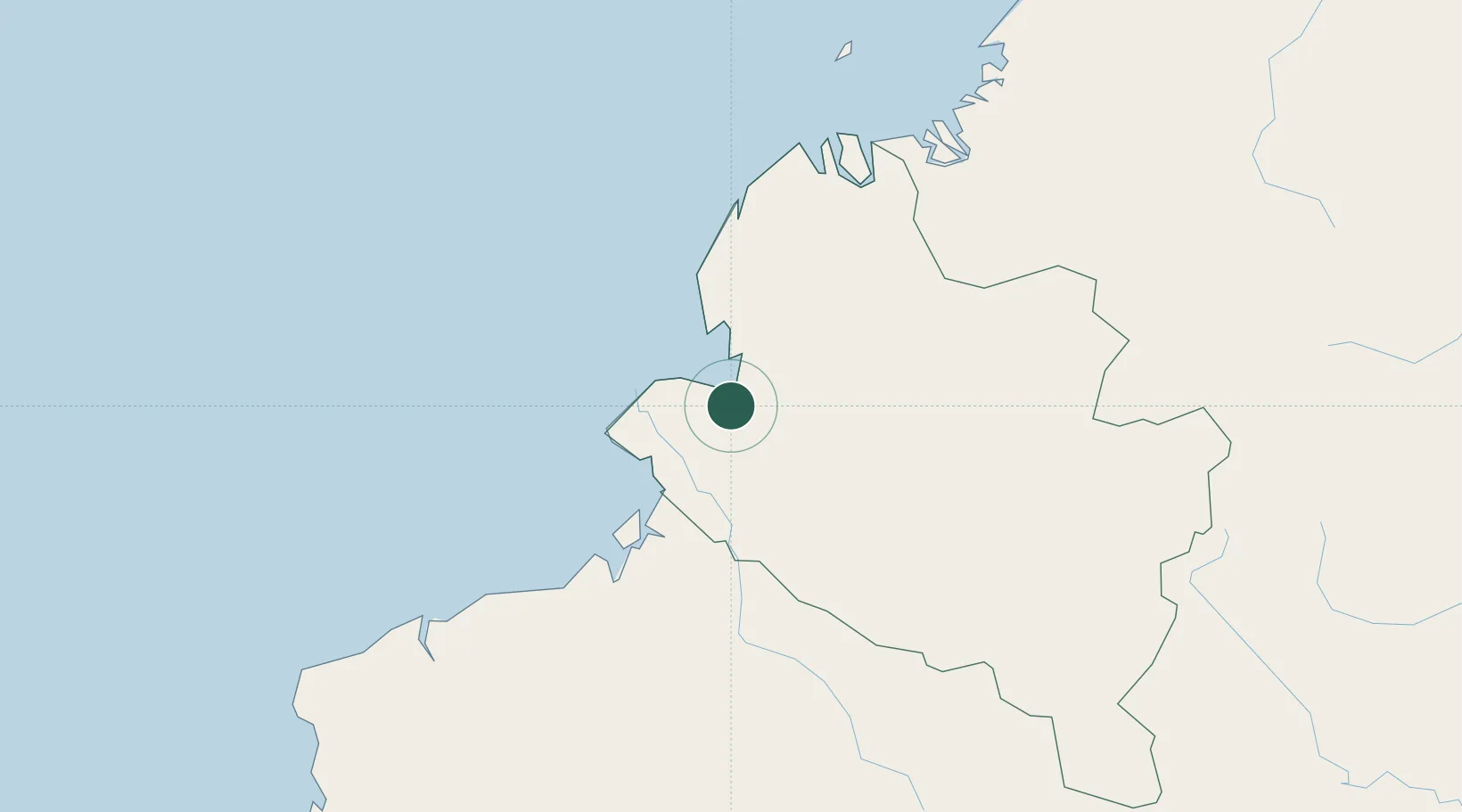
Nearby Logistics Neighbours

Cities
  1. 1San Lorenzo61 km
  2. 2Puyo73 km
  3. 3Esmeraldas150 km
  4. 4Balboa156 km
  5. 5Cotacachi163 km
Nearest neighbours — logibook spatial index (haversine) over the source coordinates
Ports
  1. 1Tumaco21 km
  2. 2Esmeraldas144 km
  3. 3Buenaventura292 km
  4. 4Manta381 km
  5. 5Guayaquil461 km
Nearest neighbours — logibook spatial index (haversine) over the source coordinates
Airports
  1. 1La Florida Airport21 km
  2. 2Guapi Airport120 km
  3. 3San Luis Airport140 km
  4. 4Lieutenant Colonel Luis A. Mantilla International Airport142 km
  5. 5Carlos Concha Torres International Airport143 km
Nearest neighbours — logibook spatial index (haversine) over the source coordinates
Trade Zones
  1. 1Zona Franca Mitad del Mundo193 km
  2. 2Corpaq Tabalela (Quiport)208 km
  3. 3Metrozona Quito211 km
  4. 4Zona Franca Millestonecorp212 km
  5. 5Zona Franca Parque Sur286 km
Nearest neighbours — logibook spatial index (haversine) over the source coordinates
DatabookThe Record of Consolidated Knowledge
Ecuador beyond logistics?
Browse databook

All Sources

LocationsUN/LOCODE
UN/LOCODE — free
Portsthe NGA World Port Index
Public domain (US gov)
AirportsOurAirports
Public domain
Trade Zonesthe World Bank SEZ database
CC BY 4.0
Trade ZonesOpen Zone Map
CC BY
← Ecuador locations