Transport Functions
Port
Hub Profile
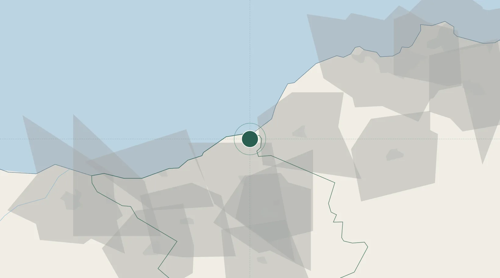
Place type
Populated place
Region
Aïn Témouchent
Population
39,749
Time zone
Africa/Algiers
Elevation
35 m
Location
Nearby Logistics Neighbours
Cities
- 1Tlemcen47 km
- 2Ghazaouet47 km
- 3Sidi Yahia64 km
- 4Sidi Bel Abbes69 km
- 5Es Senia79 km
Ports
- 1Ghazaouet48 km
- 2Oran82 km
- 3Arzew117 km
- 4Port Nador141 km
- 5Mostaganem151 km
Airports
Trade Zones
- 1Berkane Agro-Pole93 km
- 2Melilla Autonomous Community141 km
- 3Nador WestMed Free Zone162 km
- 4Ait Kamra Economic Activity Zone236 km
- 5Depósito Franco de Málaga343 km
DatabookThe Record of Consolidated Knowledge
Algeria beyond logistics?