Large airport · Algeria
Oran Es-Sénia (Ahmed Ben Bella) International AirportDAOO
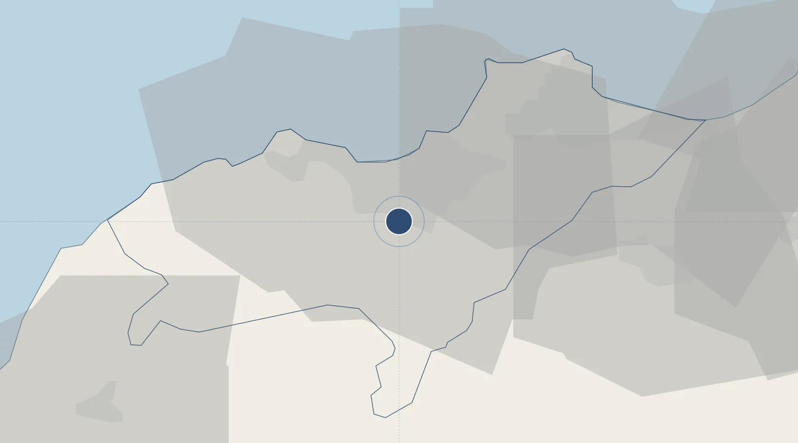
35.6206°, -0.6225°
11,811 ft
Longest runway
2
Runways
295 ft
Elevation
Runway & Layout

Radio Frequencies
TWR
118.1 MHz
ORAN TWR
APP
128.2 MHz
ORAN APP
Navaids
ORA VOR-DME Oran 114.00 MHz
Runways · 2
| Runway | Dimensions | Surface | True heading | Lit |
|---|---|---|---|---|
| 07L/25R | 11,811 × 148ft | Asphalt | 067° | ✓ |
| 07R/25L | 9,843 × 148ft | Concrete | — | ✓ |
Airport Specifications
IATA code
ORN
ICAO code
DAOO
Airport class
Large airport
Scheduled service
Yes
Runway surface
Asphalt
Served city
Es-Sénia
Location
Nearby Logistics Neighbours
Airports
- 1Oran Tafraoui Airport12 km
- 2Ghriss Airport84 km
- 3Zenata – Messali El Hadj Airport102 km
- 4Relizane Airport114 km
- 5Oujda Angads Airport150 km
Cities
- 1Es Senia3 km
- 2Oran5 km
- 3Oran Dry Port7 km
- 4Bethioua38 km
- 5Arzew39 km
Ports
- 1Oran9 km
- 2Arzew39 km
- 3Mostaganem73 km
- 4Beni Saf78 km
- 5Ghazaouet127 km
Trade Zones
- 1Berkane Agro-Pole172 km
- 2Melilla Autonomous Community213 km
- 3Nador WestMed Free Zone235 km
- 4Depósito Franco de Alicante302 km
- 5Ait Kamra Economic Activity Zone308 km
DatabookThe Record of Consolidated Knowledge
Algeria beyond logistics?