Transport Functions
Multimodal
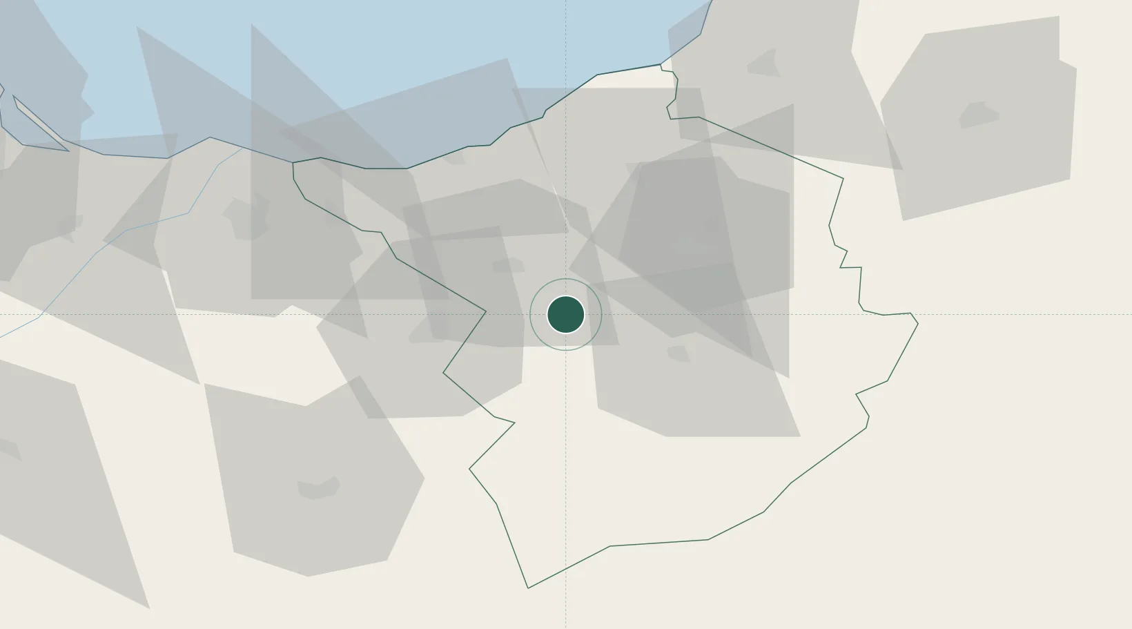
Hub Profile
Place type
Populated place
Region
Tlemcen
Time zone
Africa/Algiers
Elevation
512 m
Location
Nearby Logistics Neighbours
Ports
- 1Ghazaouet48 km
- 2Beni Saf66 km
- 3Port Nador137 km
- 4Oran138 km
- 5Arzew170 km
Airports
Trade Zones
- 1Berkane Agro-Pole72 km
- 2Melilla Autonomous Community138 km
- 3Nador WestMed Free Zone155 km
- 4Ait Kamra Economic Activity Zone223 km
- 5Fès Shore Industrial Park320 km
DatabookThe Record of Consolidated Knowledge
Algeria beyond logistics?