Transport Functions
Port
Rail
Road
Airport
Multimodal
Hub Profile
Place type
Regional capital
Region
Tlemcen
Population
173,531
Time zone
Africa/Algiers
Elevation
811 m
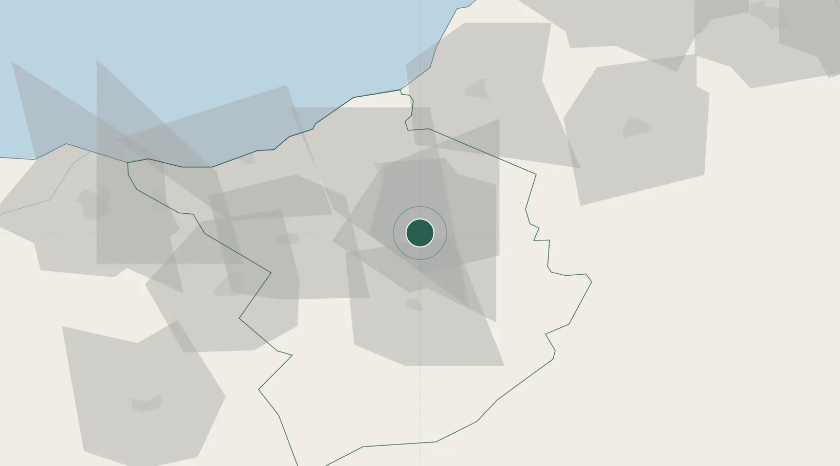
Location
Nearby Logistics Neighbours
Cities
- 1Sidi Yahia30 km
- 2Benisaf47 km
- 3Ghazaouet56 km
- 4Sidi Bel Abbes70 km
- 5Saidia88 km
Ports
- 1Beni Saf49 km
- 2Ghazaouet58 km
- 3Oran111 km
- 4Arzew142 km
- 5Port Nador156 km
Airports
Trade Zones
- 1Berkane Agro-Pole94 km
- 2Melilla Autonomous Community156 km
- 3Nador WestMed Free Zone175 km
- 4Ait Kamra Economic Activity Zone246 km
- 5Fès Shore Industrial Park349 km
DatabookThe Record of Consolidated Knowledge
Algeria beyond logistics?