UN/LOCODE hub · Dominican Republic
DOBAN
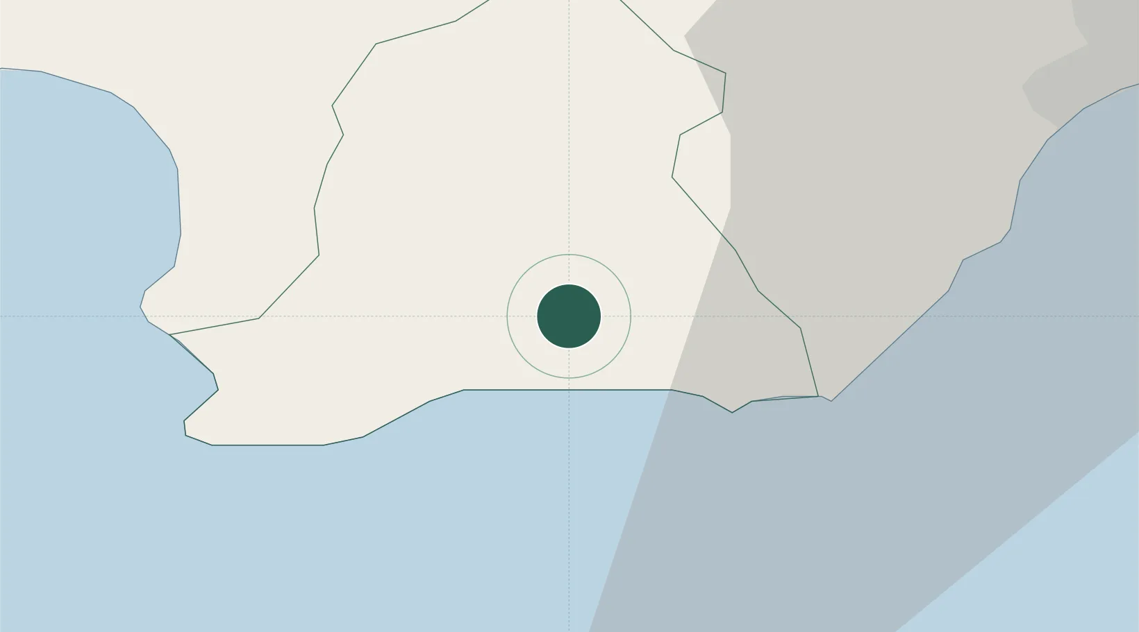
Baní
18.2833°, -70.3333°
66,709
Population
2
Transport functions
Transport Functions
Port
Road
Hub Profile
Place type
Regional capital
Region
Peravia
Population
66,709
Time zone
America/Santo_Domingo
Elevation
67 m
Location
Nearby Logistics Neighbours
Cities
- 1Las Calderas19 km
- 2Higüey20 km
- 3Puerto Palenque20 km
- 4Nigua31 km
- 5Barcequillo36 km
Ports
- 1Las Calderas21 km
- 2Puerto De Haina37 km
- 3Santo Domingo52 km
- 4Puerto Viejo De Azua53 km
- 5Andres (Andres Lng Terminal)76 km
Airports
DatabookThe Record of Consolidated Knowledge
Dominican Republic beyond logistics?