Transport Functions
Port
Hub Profile
Region
21
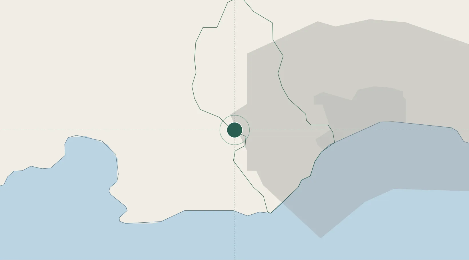
Location
Nearby Logistics Neighbours
Cities
- 1Baní20 km
- 2Nigua25 km
- 3Barcequillo25 km
- 4Villa Altagracia26 km
- 5Puerto Palenque27 km
Ports
- 1Puerto De Haina27 km
- 2Las Calderas37 km
- 3Santo Domingo41 km
- 4Puerto Viejo De Azua61 km
- 5Andres (Andres Lng Terminal)67 km
Airports
DatabookThe Record of Consolidated Knowledge
Dominican Republic beyond logistics?