Medium airport · Germany

Wittmundhafen Air BaseETNT
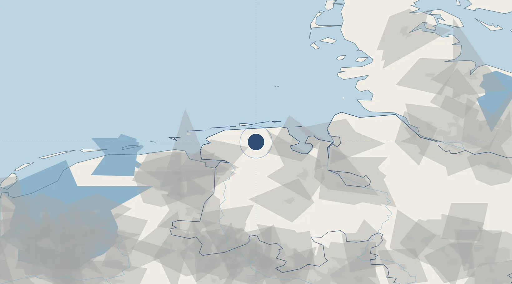
53.5478°, 7.6673°
8,005 ft
Longest runway
1
Runways
26 ft
Elevation

Runway & Layout

Wittmundhafen Air Base runway & taxiway layout
Runway & taxiway layout — OpenStreetMap (ODbL) / OurAirports

Radio Frequencies

TWR
118.725 MHz
WITTMUND TWR
ACC
124.075 MHz
BREMEN CON
RDR
25.87 MHz
WITTMUND RADAR
RDR
36.89 MHz
WITTMUND RADAR
RDR
123.3 MHz
WITTMUND RADAR
OurAirports

Runways · 1

RunwayDimensions SurfaceTrue headingLit
07/25 8,005 × 98ft Asphalt 078°
OurAirports

Airport Specifications

ICAO code
ETNT
OurAirports
Airport class
Medium airport
OurAirports
Scheduled service
No
OurAirports
Runway surface
Asphalt
OurAirports
Served city
Wittmund
OurAirports

Location

Location of ETNT
Natural Earth 10m (public domain) · Niedersachsen · ETNT · 53.55, 7.67GoogleOSMYandex

Nearby Logistics Neighbours

Airports
  1. 1Harlesiel Airfield20 km
  2. 2Baltrum Airport28 km
  3. 3Wangerooge Airport31 km
  4. 4Norden-Norddeich Airport33 km
  5. 5Norderney Airport34 km
Nearest neighbours — logibook spatial index (haversine) over the source coordinates
Cities
  1. 1Wittmund8 km
  2. 2Upschört10 km
  3. 3Marcardsmoor11 km
  4. 4Wiesens12 km
  5. 5Reepsholt13 km
Nearest neighbours — logibook spatial index (haversine) over the source coordinates
Ports
  1. 1Wilhelmshaven33 km
  2. 2Leer38 km
  3. 3Emden40 km
  4. 4Papenburg53 km
  5. 5Delfzijl54 km
Nearest neighbours — logibook spatial index (haversine) over the source coordinates
Trade Zones
  1. 1Freeport of Emden39 km
  2. 2Freeport of Cuxhaven (Freihafen Cuxhaven)67 km
  3. 3Freeport of Bremerhaven (Freihafen Bremerhaven)89 km
  4. 4Freeport of Kiel186 km
  5. 5Freeport of Duisburg245 km
Nearest neighbours — logibook spatial index (haversine) over the source coordinates
DatabookThe Record of Consolidated Knowledge
Germany beyond logistics?
Browse databook

All Sources

AirportsOurAirports
Public domain
Portsthe NGA World Port Index
Public domain (US gov)
LocationsUN/LOCODE
UN/LOCODE — free
Trade Zonesthe World Bank SEZ database
CC BY 4.0
Trade ZonesOpen Zone Map
CC BY
InfrastructureOpenStreetMap
ODbL 1.0
← Germany airports