UN/LOCODE hub · Germany
DEHQE

Heede (Emsland)

52.9710°, 7.3597°
1
Transport functions

Transport Functions

Multimodal
UN/LOCODE

Hub Profile

Region
NI
GeoNames
Logistics facilities
1
UN/LOCODE

Location

Location of DEHQE
Natural Earth 10m (public domain) · NI · DEHQE · 52.97, 7.36GoogleOSMYandex

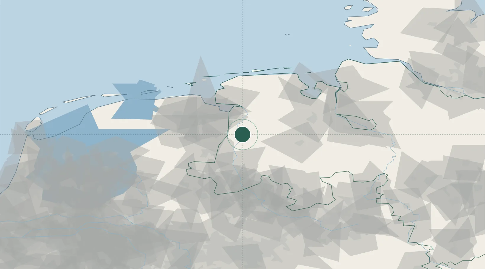
Nearby Logistics Neighbours

Cities
  1. 1Dörpen4 km
  2. 2Dersum5 km
  3. 3Walchum7 km
  4. 4Herbrum8 km
  5. 5Fresenburg11 km
Nearest neighbours — logibook spatial index (haversine) over the source coordinates
Ports
  1. 1Papenburg14 km
  2. 2Leer30 km
  3. 3Emden42 km
  4. 4Delfzijl49 km
  5. 5Oldenburg60 km
Nearest neighbours — logibook spatial index (haversine) over the source coordinates
Airports
  1. 1Emden Airport48 km
  2. 2Groningen Airport Eelde55 km
  3. 3Wittmundhafen Air Base67 km
  4. 4Norden-Norddeich Airport75 km
  5. 5Diepholz Air Base79 km
Nearest neighbours — logibook spatial index (haversine) over the source coordinates
Trade Zones
  1. 1Freeport of Emden42 km
  2. 2Freeport of Bremerhaven (Freihafen Bremerhaven)96 km
  3. 3Freeport of Cuxhaven (Freihafen Cuxhaven)124 km
  4. 4Freeport of Duisburg178 km
  5. 5Rheinische Revier SWZ239 km
Nearest neighbours — logibook spatial index (haversine) over the source coordinates
DatabookThe Record of Consolidated Knowledge
Germany beyond logistics?
Browse databook

All Sources

LocationsUN/LOCODE
UN/LOCODE — free
Portsthe NGA World Port Index
Public domain (US gov)
AirportsOurAirports
Public domain
Trade Zonesthe World Bank SEZ database
CC BY 4.0
Trade ZonesOpen Zone Map
CC BY
← Germany locations