Transport Functions
Port
Rail
Road
Hub Profile
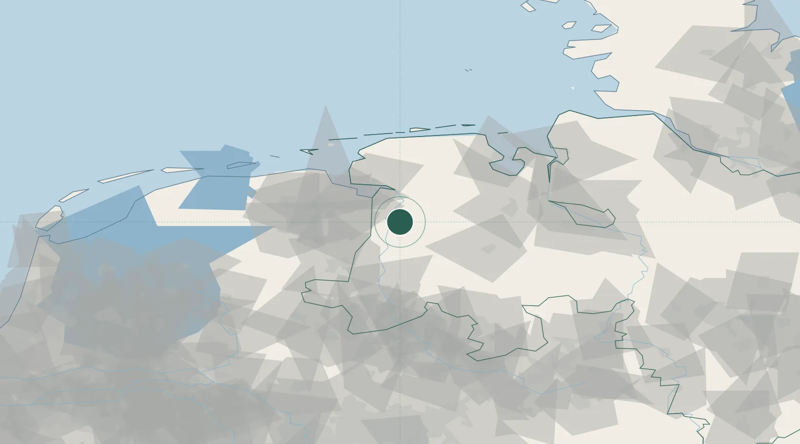
Place type
Local administrative seat
Region
Lower Saxony
Population
34,117
Time zone
Europe/Berlin
Elevation
5 m
Location
Nearby Logistics Neighbours
Cities
- 1Herbrum7 km
- 2Börgemoor9 km
- 3Heede (Emsland)11 km
- 4Weener12 km
- 5Dersum14 km
Airports
- 1Emden Airport38 km
- 2Groningen Airport Eelde55 km
- 3Wittmundhafen Air Base56 km
- 4Norden-Norddeich Airport65 km
- 5Juist Airport72 km
Trade Zones
DatabookThe Record of Consolidated Knowledge
Germany beyond logistics?