Transport Functions
Port
Road
Hub Profile
Region
NI
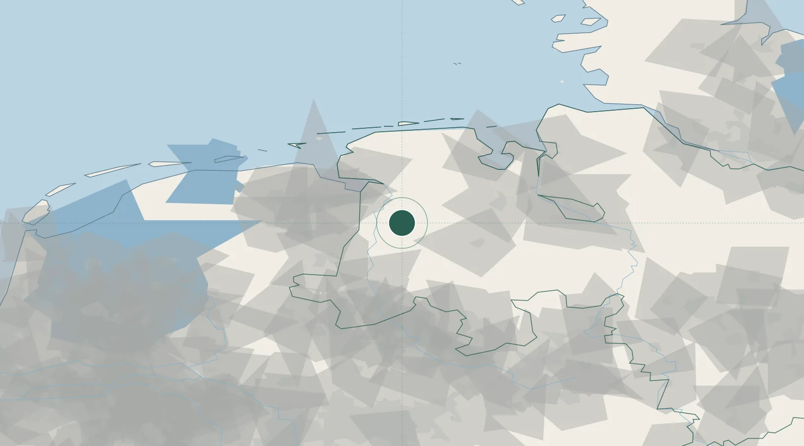
Location
Nearby Logistics Neighbours
Cities
- 1Papenburg9 km
- 2Heede (Emsland)11 km
- 3Herbrum12 km
- 4Lorup14 km
- 5Dörpen14 km
Airports
- 1Emden Airport45 km
- 2Wittmundhafen Air Base60 km
- 3Groningen Airport Eelde63 km
- 4Norden-Norddeich Airport72 km
- 5Diepholz Air Base74 km
Trade Zones
DatabookThe Record of Consolidated Knowledge
Germany beyond logistics?