Transport Functions
Port
Rail
Road
Hub Profile
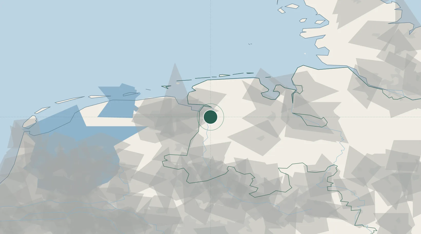
Place type
Local administrative seat
Region
Lower Saxony
Population
15,718
Time zone
Europe/Berlin
Elevation
3 m
Location
Nearby Logistics Neighbours
Cities
- 1Nieuweschans10 km
- 2Jemgum11 km
- 3Papenburg12 km
- 4Nieuwe Statenzijl12 km
- 5Herbrum15 km
Airports
- 1Emden Airport26 km
- 2Wittmundhafen Air Base47 km
- 3Groningen Airport Eelde52 km
- 4Norden-Norddeich Airport53 km
- 5Juist Airport61 km
Trade Zones
DatabookThe Record of Consolidated Knowledge
Germany beyond logistics?