Transport Functions
Port
Rail
Road
Hub Profile
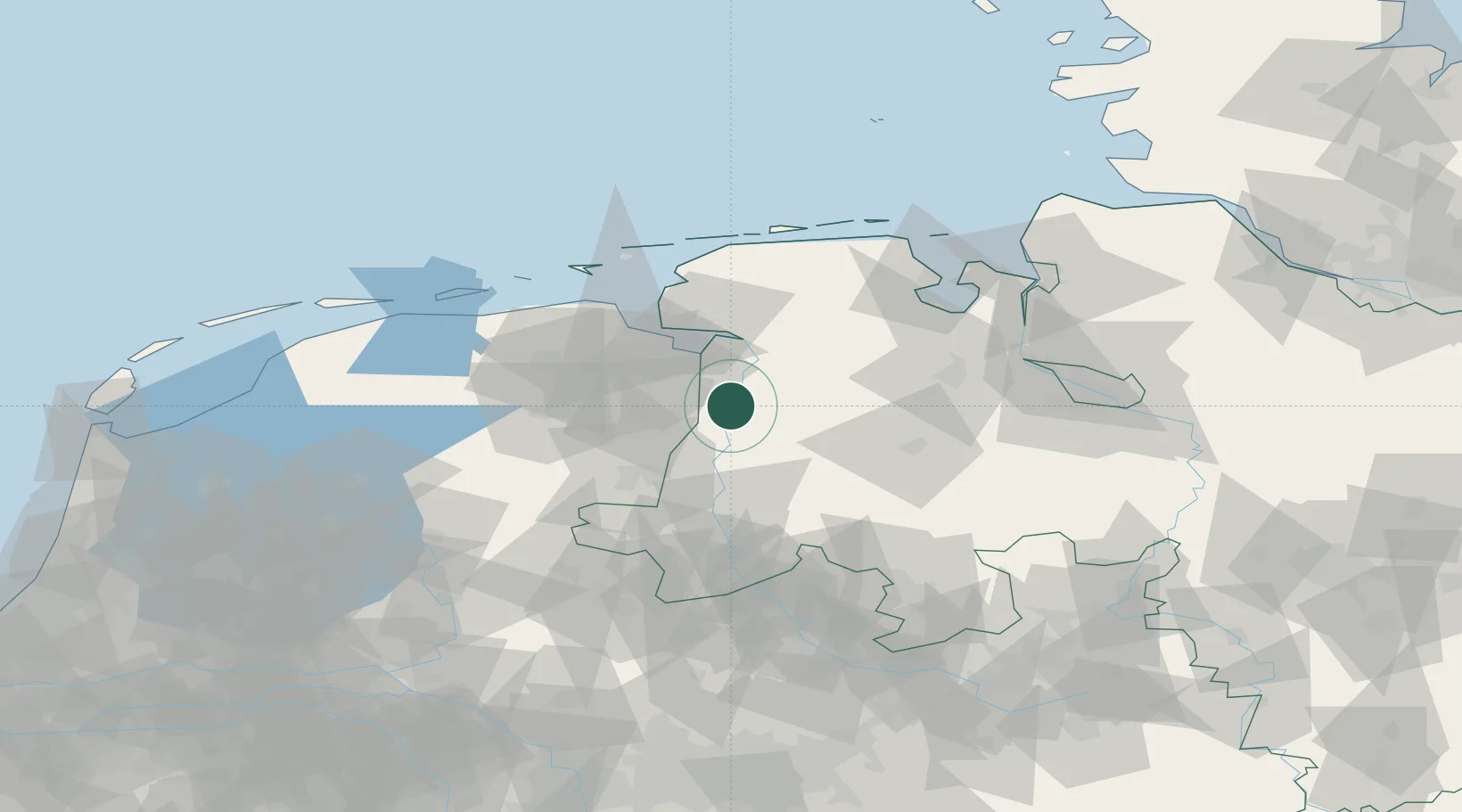
Place type
Populated place
Region
Lower Saxony
Time zone
Europe/Berlin
Elevation
5 m
Location
Nearby Logistics Neighbours
Cities
- 1Papenburg7 km
- 2Heede (Emsland)8 km
- 3Dersum8 km
- 4Bourtange8 km
- 5Dörpen9 km
Airports
- 1Emden Airport40 km
- 2Groningen Airport Eelde50 km
- 3Wittmundhafen Air Base62 km
- 4Norden-Norddeich Airport67 km
- 5Juist Airport74 km
Trade Zones
DatabookThe Record of Consolidated Knowledge
Germany beyond logistics?