Channel & Berth Profile
Pilotage, Tugs & Services
Pilotage compulsoryYES
Pilotage availableYES
Local assistanceYES
Tug assistanceYES
Potable waterYES
Diesel bunkersYES
MedicalYES
Garbage disposalYES
Facilities & Capabilities
Container—
Ro-Ro—
Liquid bulk—
Dry bulk—
Oil terminal—
Break bulk—
Dry dock—
RepairsNO
BunkeringYES
Rail linkYES
Dangerous cargo—
ISPS security—
Harbour Specifications
Harbour size
Very Small
Harbour type
River (Natural)
Shelter
Good
Water body
Baltic Sea; North Atlantic Ocean
Overhead limit
Yes
Pilotage
Yes
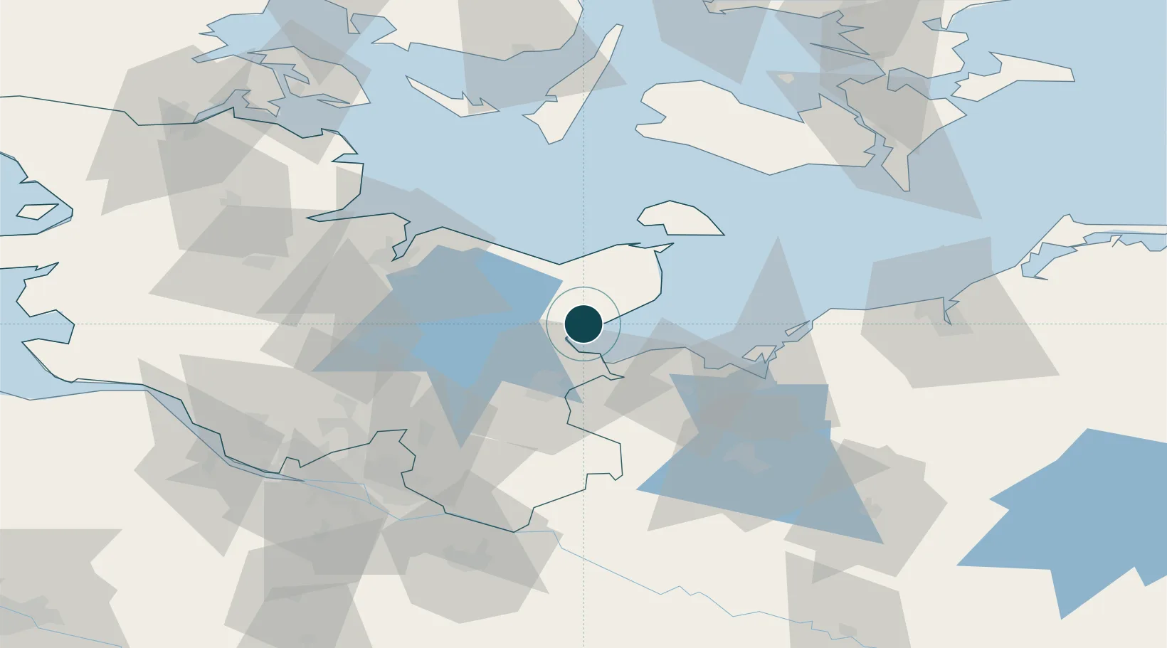
Location
Nearby Logistics Neighbours
Ports
- 1Lubeck-Travemunde16 km
- 2Lubeck25 km
- 3Heiligenhafen32 km
- 4Orth42 km
- 5Wismar48 km
Cities
- 1Neustadt in Holstein0 km
- 2Altenkrempe4 km
- 3Scharbeutz11 km
- 4Niendorf Ostsee11 km
- 5Ahrensboek18 km
Airports
- 1Lübeck Blankensee Airport33 km
- 2Kiel-Holtenau Airport54 km
- 3Hamburg Helmut Schmidt Airport75 km
- 4Lolland Falster Maribo Airport78 km
- 5Hohn Air Base86 km
Trade Zones
DatabookThe Record of Consolidated Knowledge
Germany beyond logistics?