Transport Functions
Multimodal
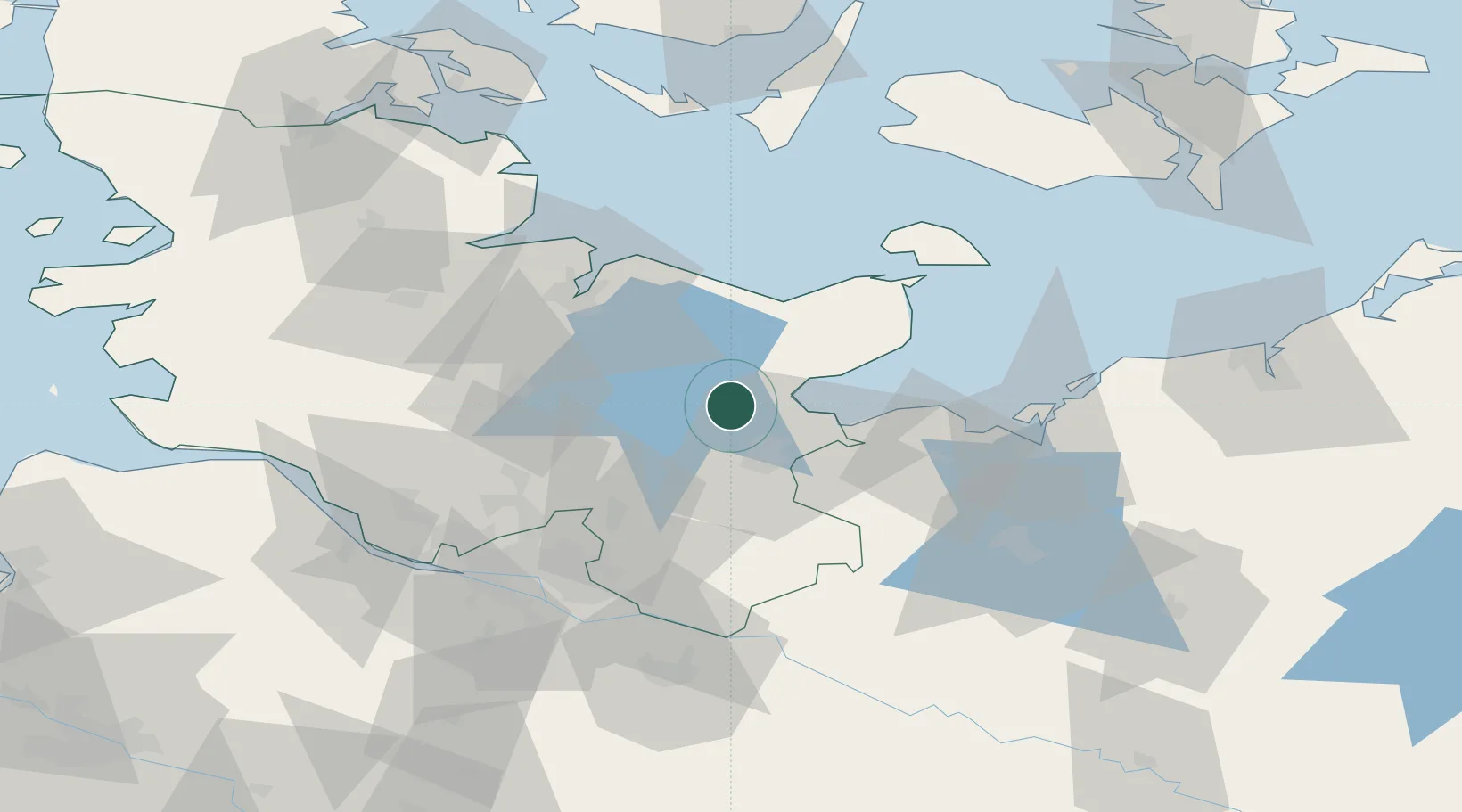
Hub Profile
Region
SH
Location
Nearby Logistics Neighbours
Cities
- 1Ahrensbök0 km
- 2Scharbeutz10 km
- 3Nehmten15 km
- 4Niendorf Ostsee15 km
- 5Lübeck17 km
Ports
- 1Lubeck17 km
- 2Neustadt18 km
- 3Lubeck-Travemunde20 km
- 4Kiel44 km
- 5Heiligenhafen47 km
Airports
Trade Zones
DatabookThe Record of Consolidated Knowledge
Germany beyond logistics?