Transport Functions
Multimodal
Hub Profile
Place type
Local administrative seat
Region
Schleswig-Holstein
Population
12,087
Time zone
Europe/Berlin
Elevation
1 m
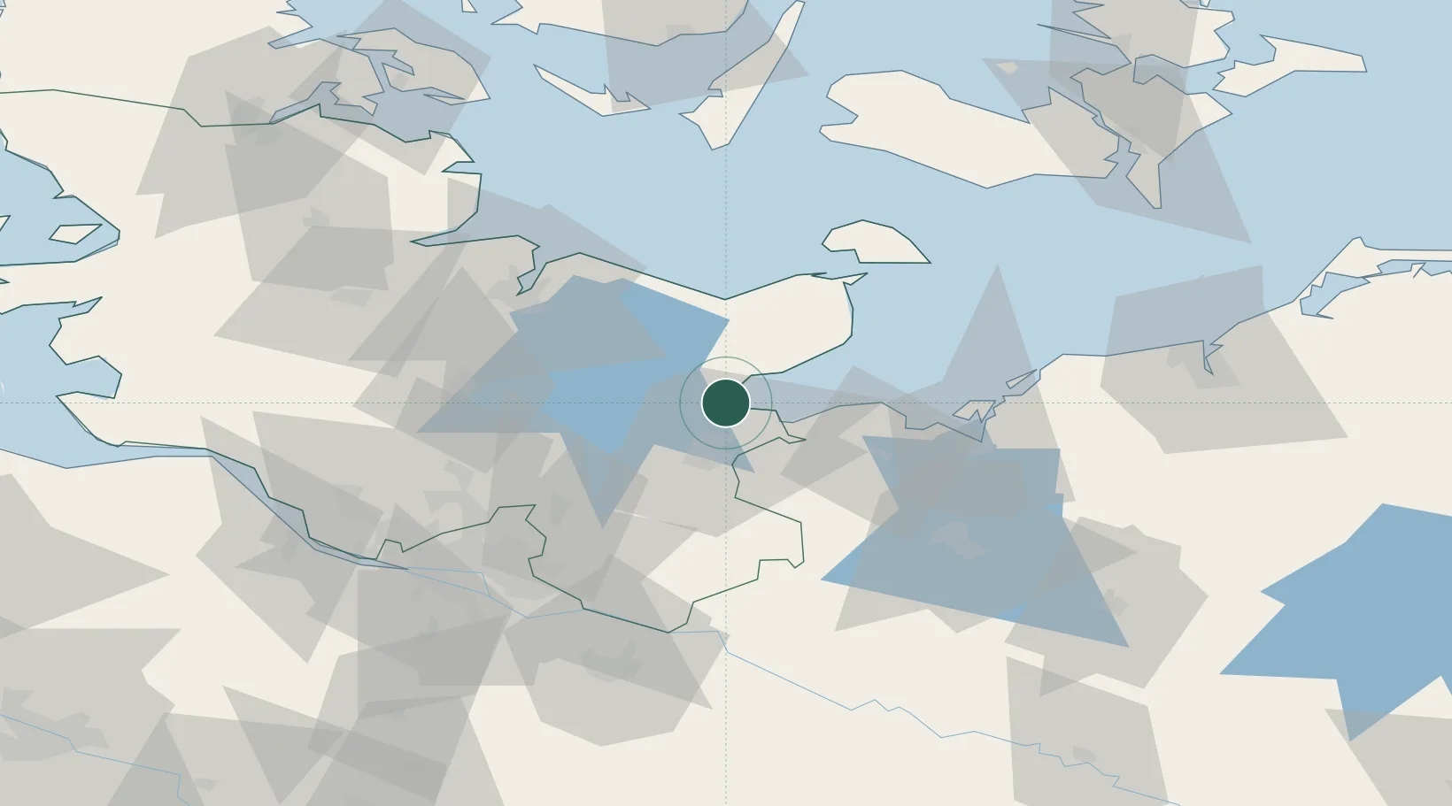
Location
Nearby Logistics Neighbours
Cities
- 1Niendorf Ostsee6 km
- 2Ahrensboek10 km
- 3Ahrensbök10 km
- 4Neustadt in Holstein11 km
- 5Lübeck13 km
Ports
- 1Neustadt11 km
- 2Lubeck-Travemunde11 km
- 3Lubeck15 km
- 4Heiligenhafen42 km
- 5Wismar50 km
Airports
Trade Zones
DatabookThe Record of Consolidated Knowledge
Germany beyond logistics?